A Winter Island Escape: 3 Days on the Trans-Catalina Trail


It was President's Day weekend, and the only way to backpack in February without dealing with snow was to do a coastal backpacking trip. The Trans-Catalina Trail was the perfect choice! The island was wonderfully green, and the mild winter weather was perfect for hiking. I also wrote a guide for this trail, so click on the button below if you are planning to do this hike. For my trip report, keep reading!
Trip at a Glance
| Distance | 40.5 miles |
| Elevation Gain | 9,180 feet |
| Elevation Range | 0 - 1,765 feet |
| Length | 3 days |
| Permits | Campground reservations required |
| Trailhead | Avalon |
| Highlights | Little Harbor, Parsons Landing |
| Type | Point-to-point |
| Date of Report | Feb 17 - 19, 2024 |
The Itinerary
| Day | Destination | Miles | Gain | Loss |
|---|---|---|---|---|
| 0 | Hermit Gulch | 1.5 | 350' | 0' |
| 1 | Little Harbor | 17.5 | 4200' | 4550' |
| 2 | Parsons Landing | 14.0 | 3750' | 3750' |
| 3 | Two Harbors | 7.5 | 530' | 530' |
The Trans-Catalina Island Trail can be broken down into 5 segments, with each segment ending at a campground. We combined segments 1/2 and segments 3/4 to finish it in 3 days.
Segment 1: Avalon to Black Jack (10.5 miles)
Segment 2: Black Jack to Little Harbor (8.5 miles)
Segment 3: Little Harbor to Two Harbors (7 miles)
Segment 4: Two Harbors to Parsons Landing (7 miles)
Segment 5: Parsons Landing to Two Harbors (7.5 miles)
Day 0: Traveling to Avalon
Since we had a long day 1 planned, we planned to spend the night on Catalina Island before our trip started so we could start early in the morning the next day. We considered staying in a hotel in Avalon, but staying at Hermit Gulch campground was cheaper and gave us a slight head start by getting the 1.5 mile walk out of Avalon out of the way.
We flew into Long Beach Airport on Friday and took an Uber to the San Pedro ferry terminal. The afternoon ferry was mostly empty. Barely 10 minutes into the ferry ride, we could already see the length of Catalina Island stretching out across the horizon. It looked much closer than an hour away somehow. The ferry ride was making me feel sick, so I sprawled across a booth and took a nap.
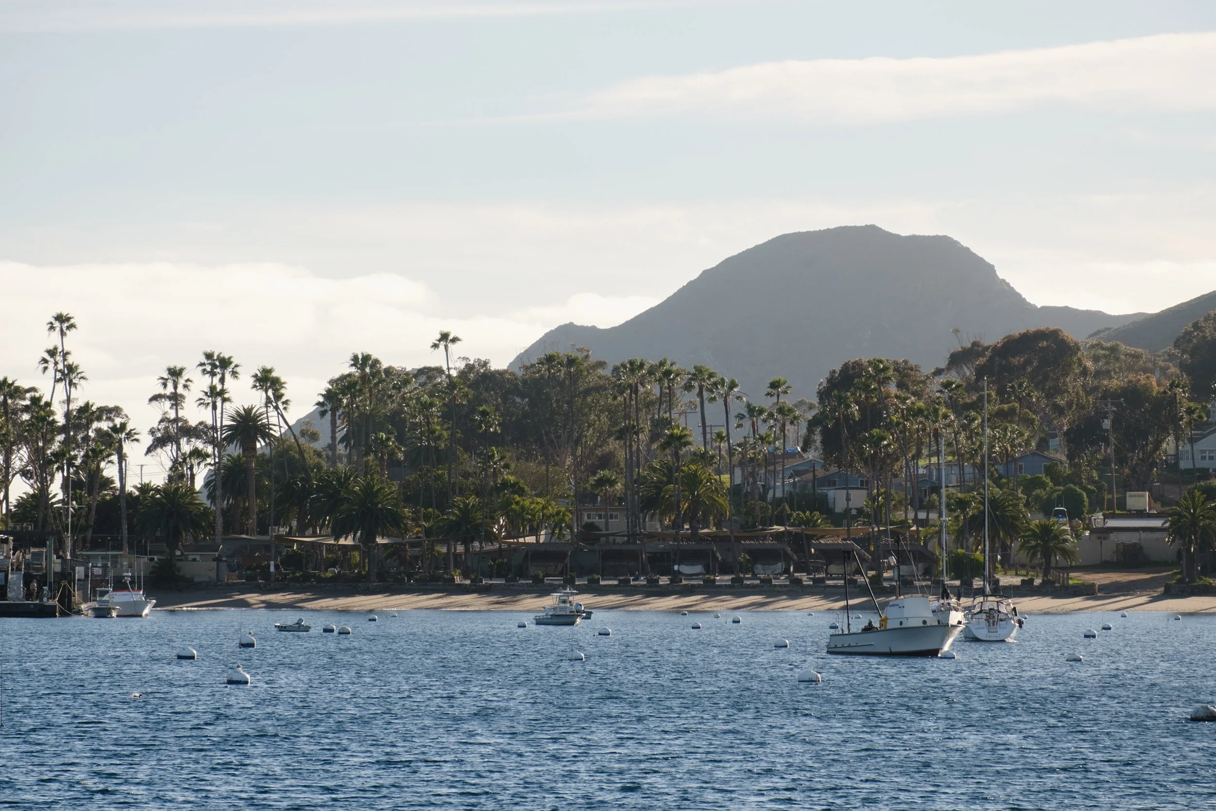
This ferry to Avalon was via Two Harbors. The ferry ride took a full 2:50 hrs, which included a 30 minute stop in Two Harbors. The harbor was sparkling blue and filled with small boats. It felt like we had been transported to a coastal town in the Mediterranean.
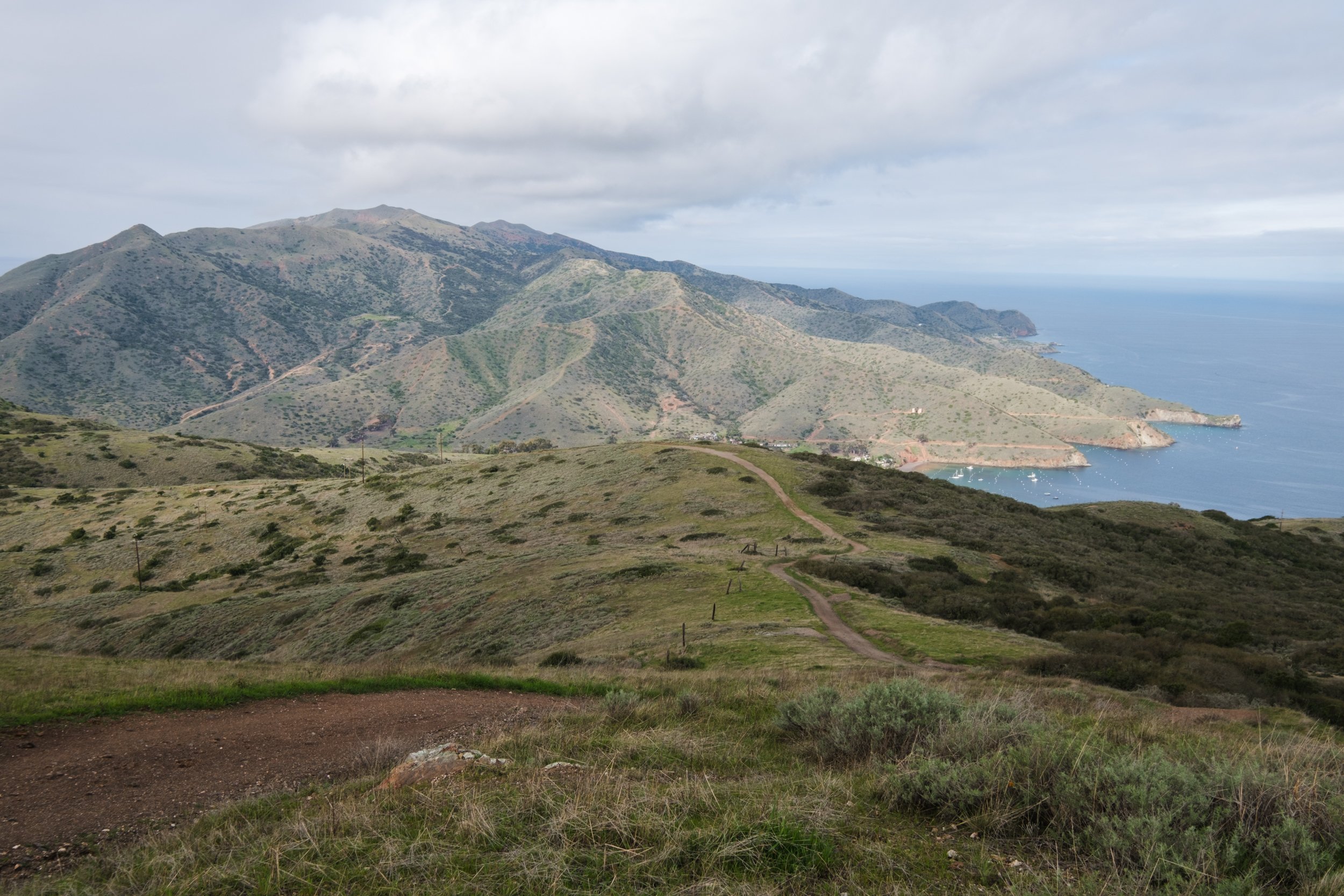
Pulling into Two Harbors
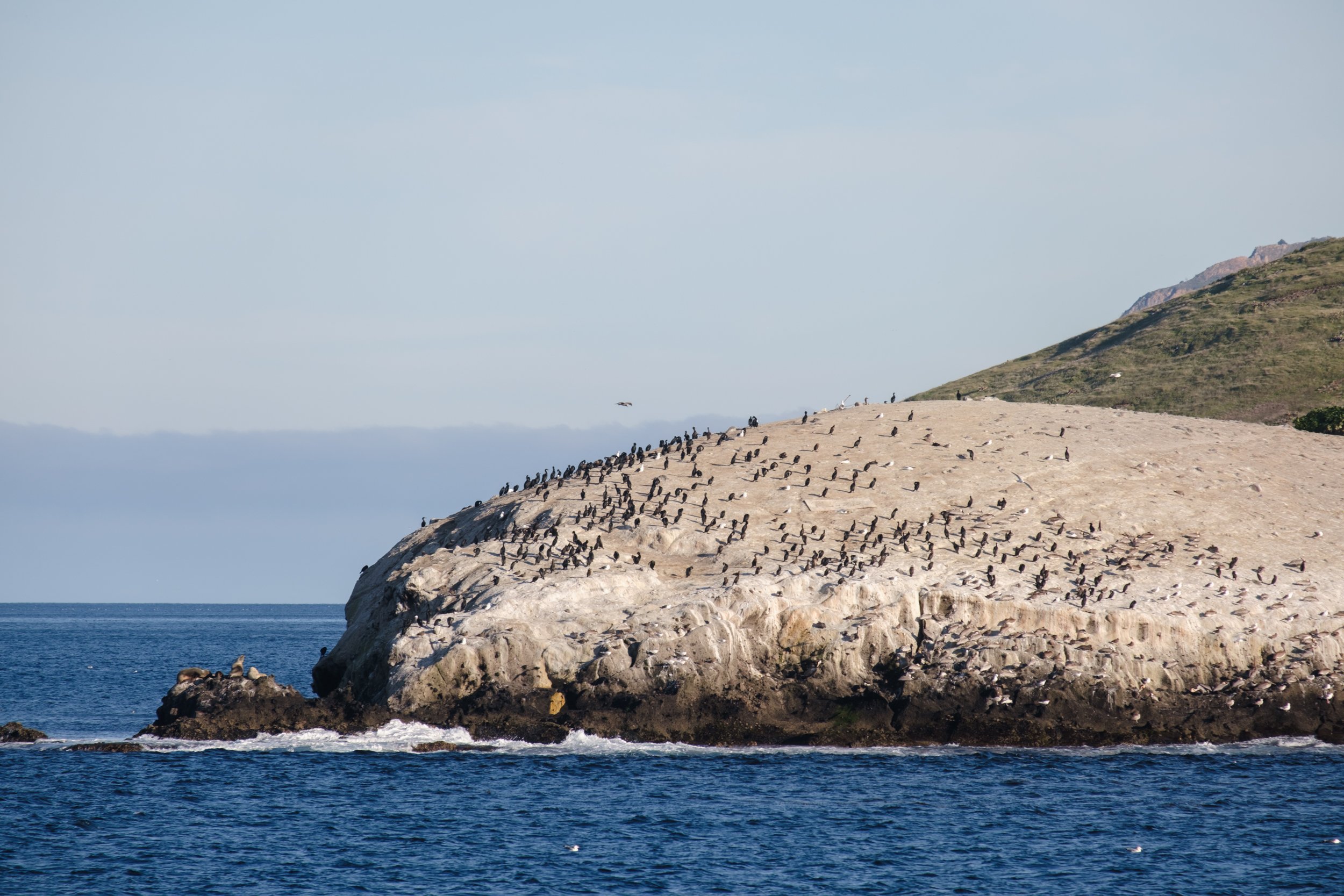
This large rock is popular with the birds!
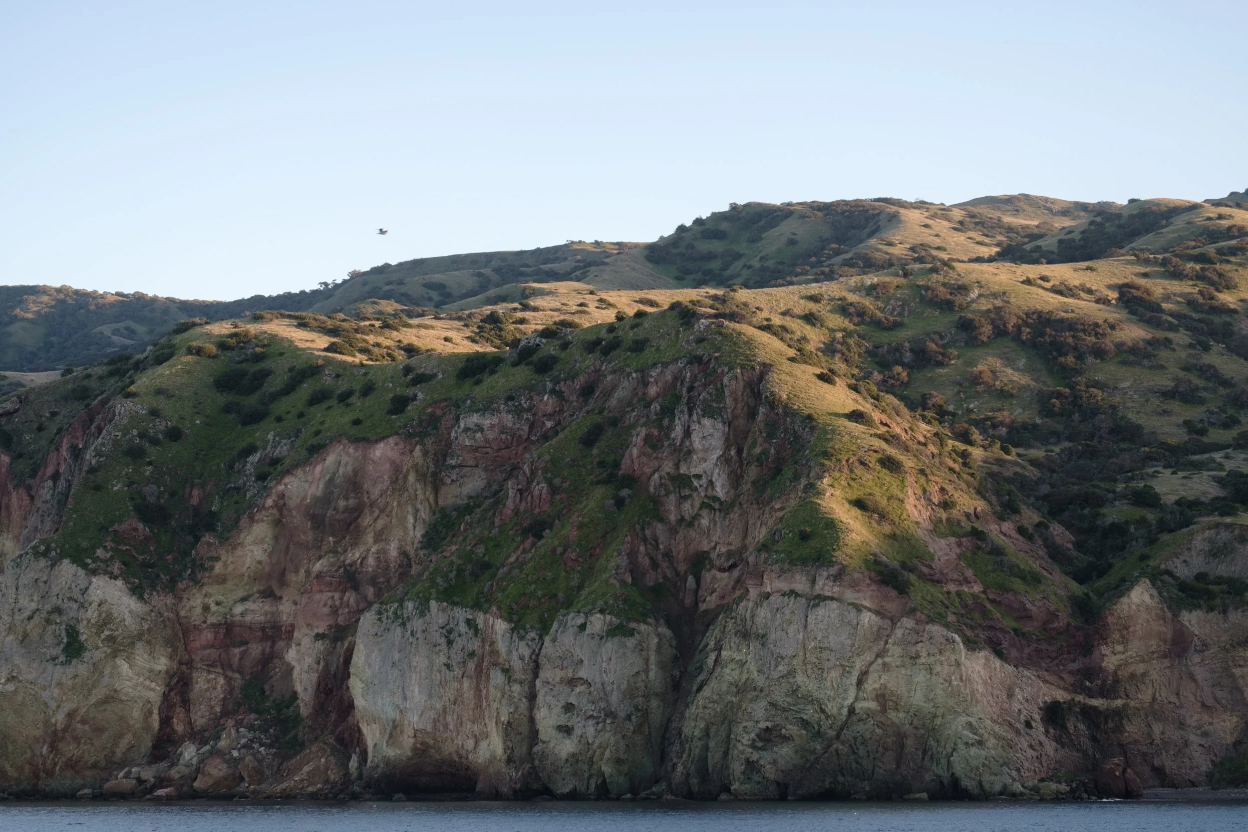
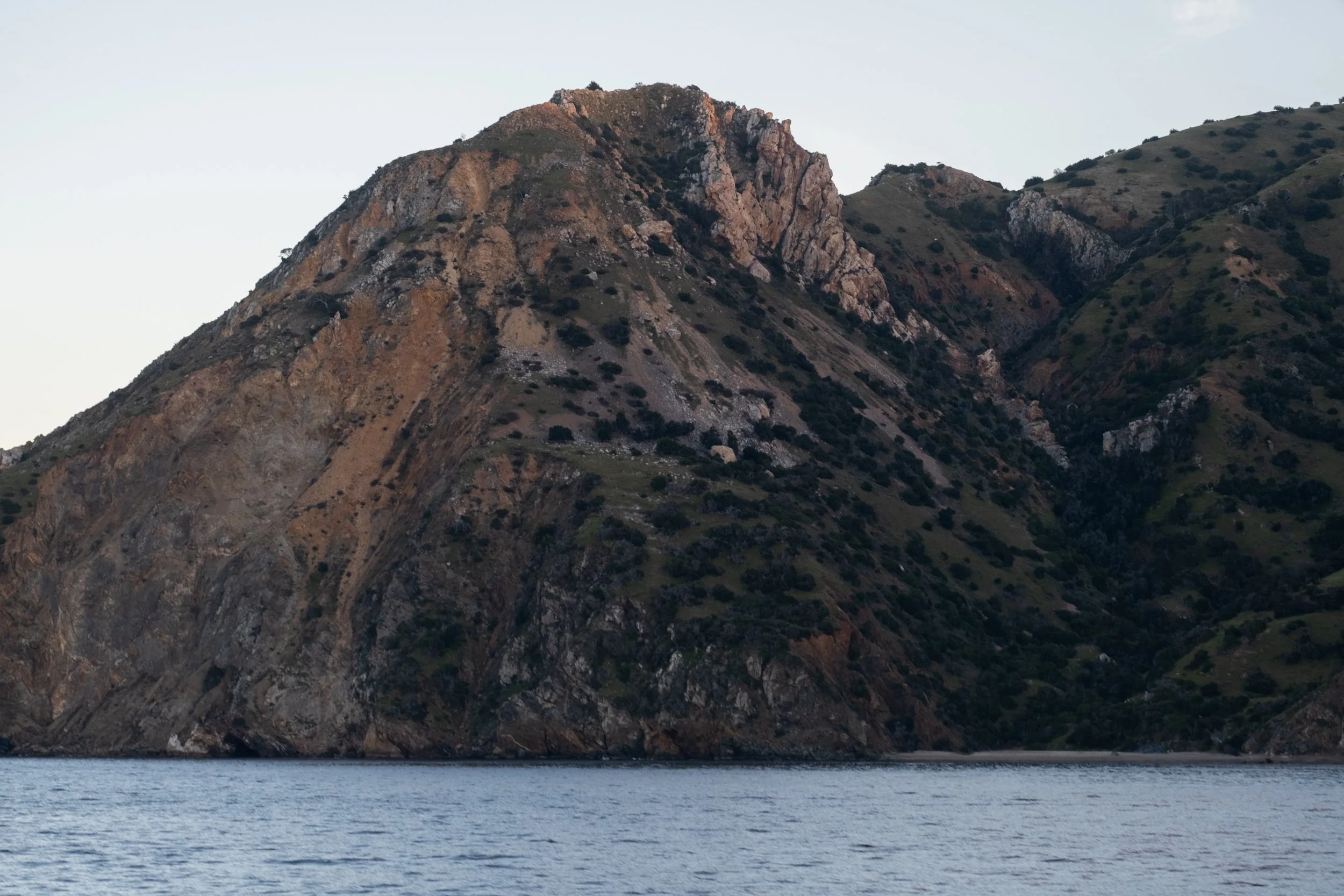
After we left Two Harbors, golden hour kicked in for the final portion of the ferry to Avalon. Now we were sailing along the island south to north, which gave us impressive views of the coastline.
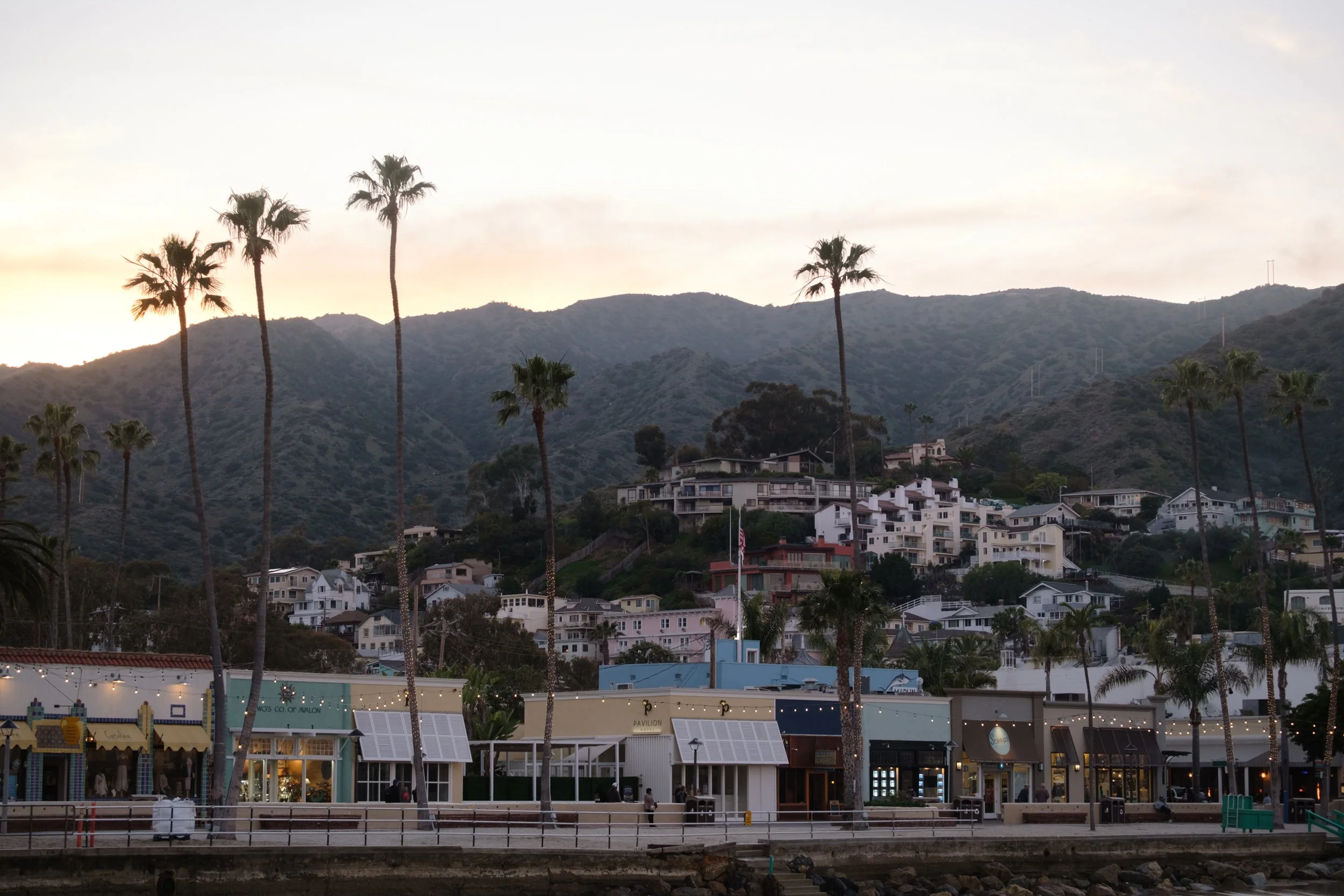
We got to Avalon right at sunset. Avalon is the main development on Catalina Island and looks like a proper town. Glassy ocean-view homes dotted the mountainside. The main street was on a pedestrian walkway by the water. String lights and palm trees were everywhere. They really set the tone of “relaxing island getaway”, although the island getaway we were planning was going to involve much less relaxing and much more walking.
Downtown Avalon
We got dinner on the main street, and then walked to Vons for some last minute snack shopping before heading to Hermit Gulch campground. It was strange walking with our backpacking gear in the dark, as if we were starting our backpacking trip right before bed. I guess technically we were.
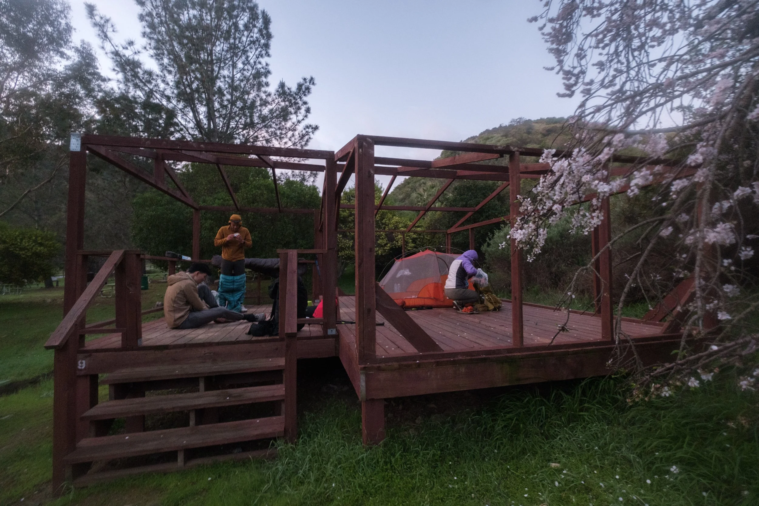
Hermit Gulch campground was pretty empty and quiet when we got there. It was completely dark and we were having a hard time finding our tent cabins. (We splurged on tent cabins so that we wouldn’t have to pack up our tents in the morning.) Fortunately, there was service at Hermit Gulch, so we looked up the campground map to figure out where the tent cabins were. Our hearts sank as we realized we definitely already walked by the tent cabins. They just weren't tent cabins. They were the cabin skeletons, and the tent and cots were clearly not set up. It was not a big deal as we had our tents with us, but we thought it was hilarious that we paid $200+ for extra fancy tent platforms. We ended up asking for and getting a refund for this mishap later (over email).
Day 1: Hermit Gulch to Little Harbor
Waking up in our tent “cabins” the next morning
We woke up at 5:45 AM so that we could get an early start. Since it wasn't very cold the night before, we hadn't bothered putting up the rain fly. When we woke up, all of our gear was so wet. We thought for it second that it had rained, but that surely would have woken us up. It was just very heavy condensation. It took a while to towel everything down, and our down sleeping bags were still damp when we packed them.
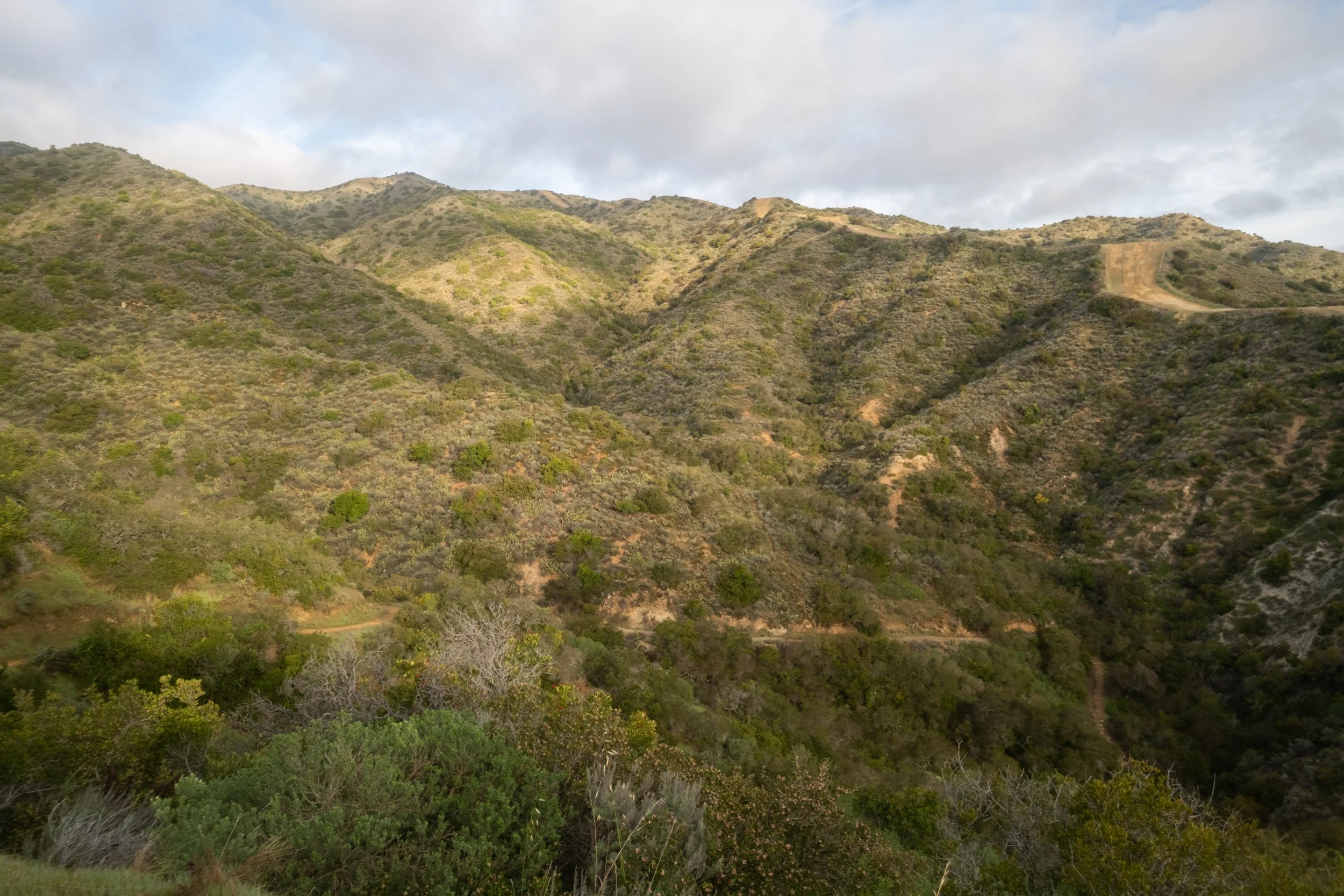
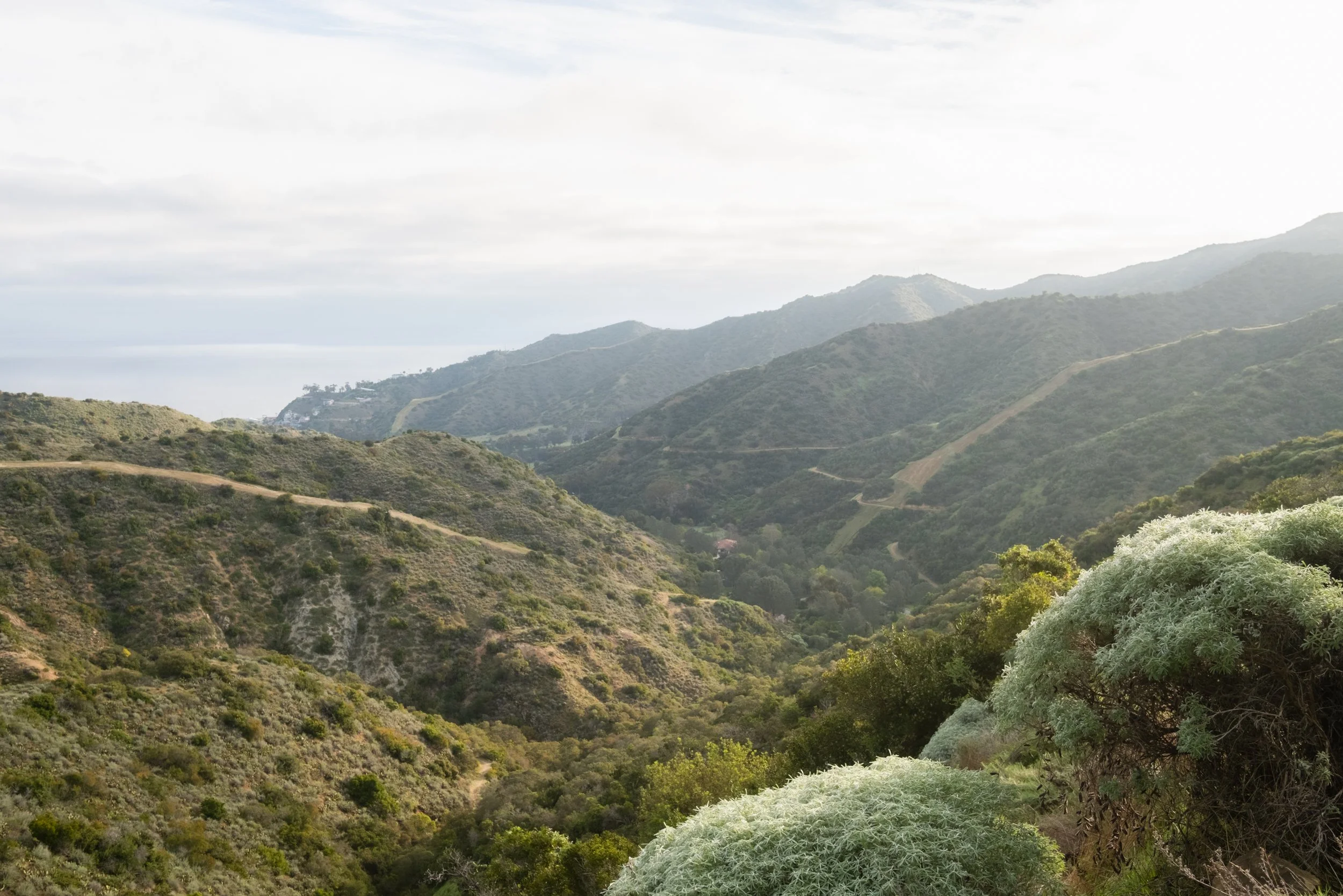
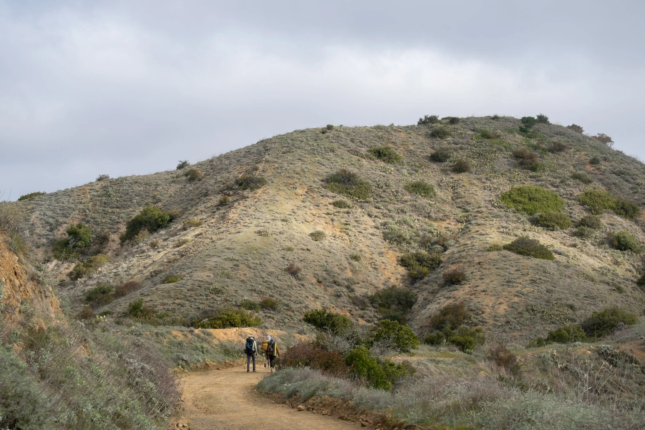
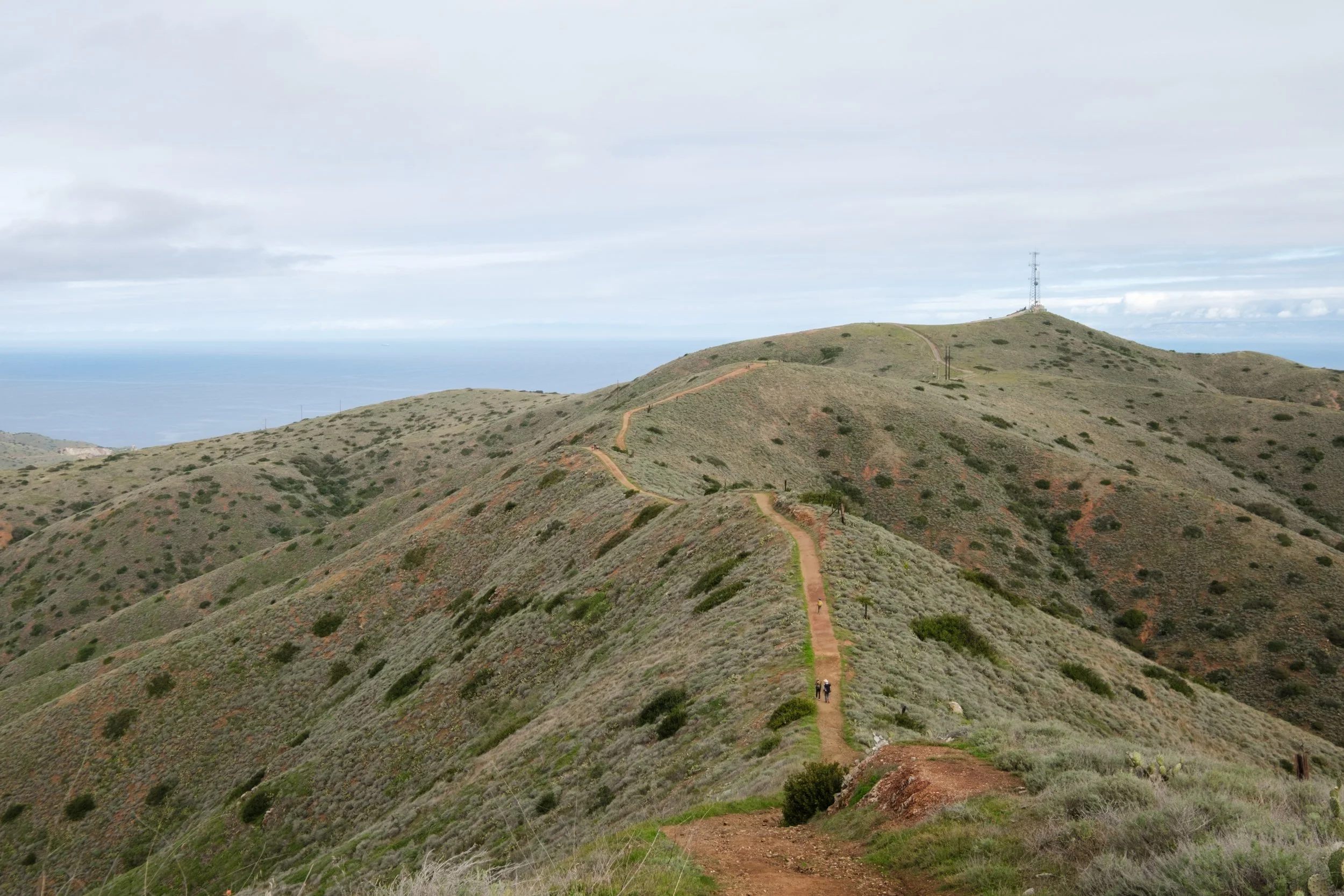
The trail started out with a 1k foot climb out of Hermit Gulch campground. The climb went by quick on our fresh legs and we finished in around an hour. The morning light was soft and beautiful. We could see Avalon in the distance once we gained some elevation. At the top was a little info panel and a pit toilet nearby.
Views on the ascent from Hermit Gulch campground
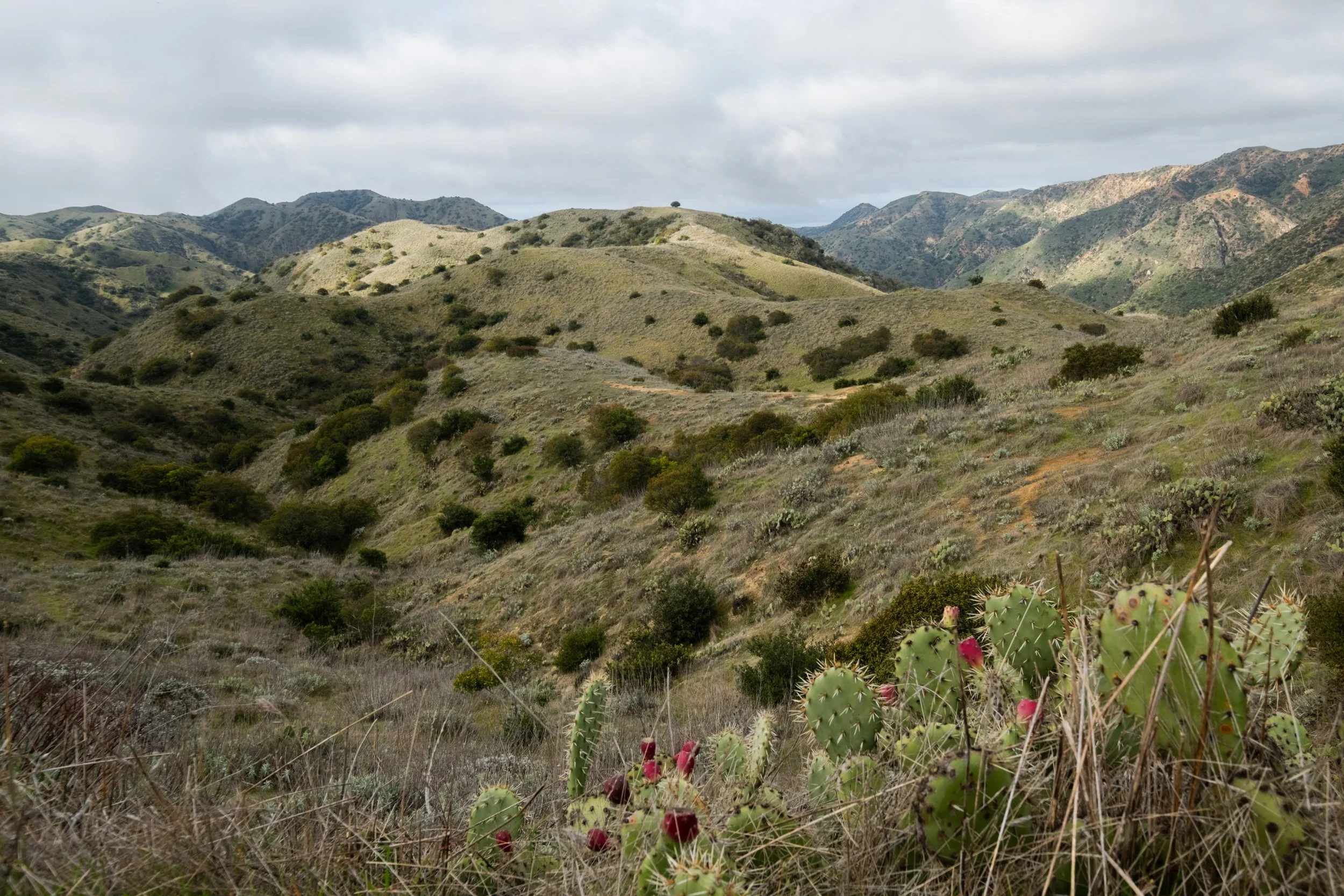
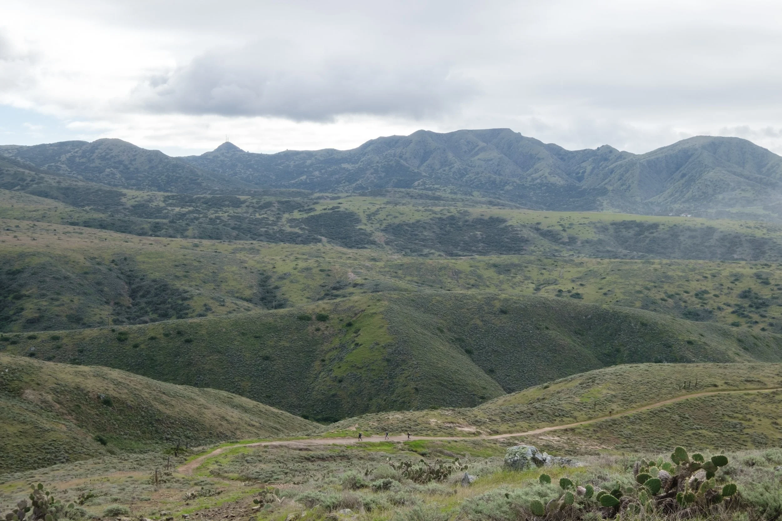
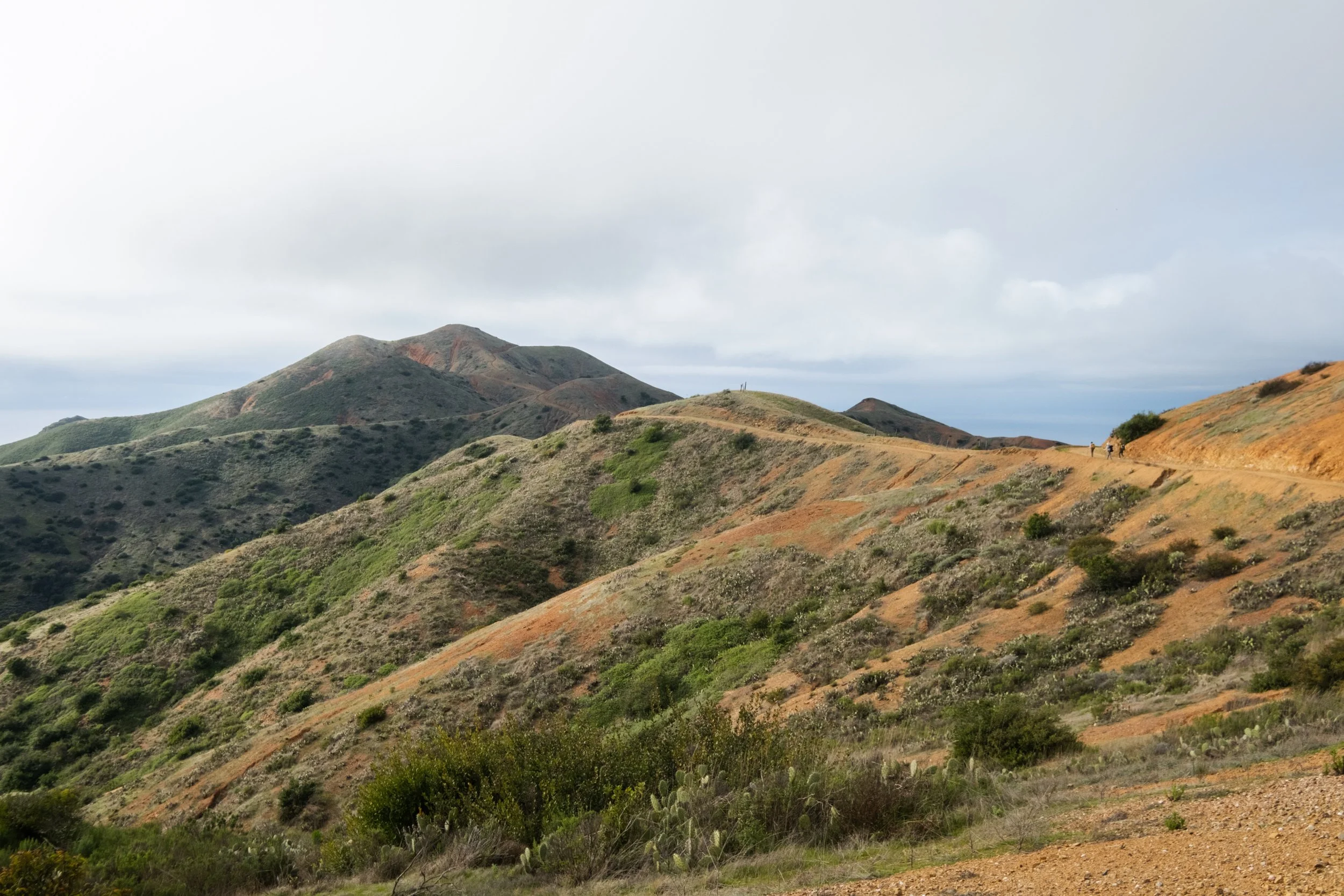
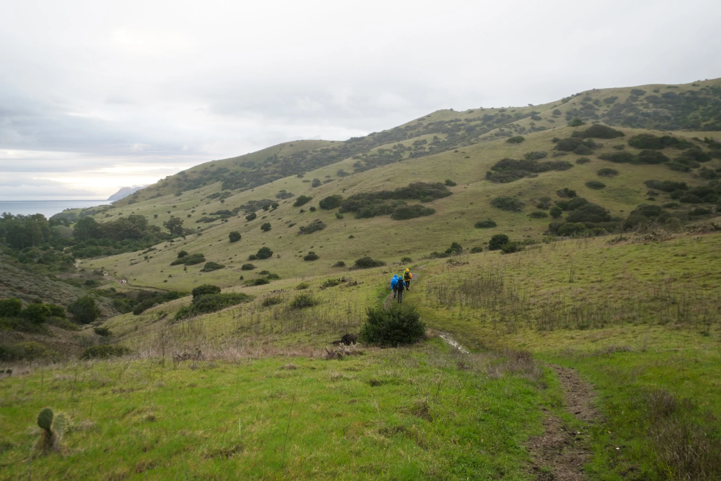
After the first climb, the trail undulated on the ridges the rest of the day until the final descent back to the beach at Little Harbor 18 miles later. The scenery on this section is classic Catalina Island and would accompany us the rest of the day: rolling green hills, short shrubs, sparse trees, tons of cacti, and occasional views of the ocean. I thought springtime made it especially beautiful because of how green everything was. In the summer, all the grasses would be yellow and dry.
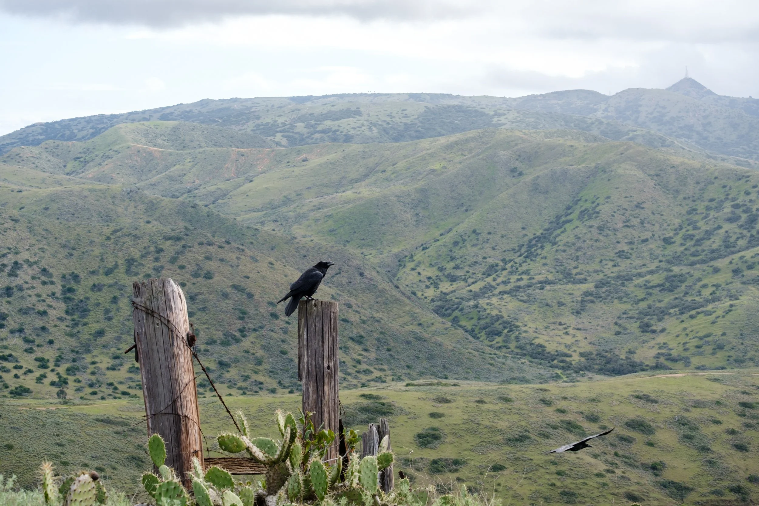
Cacti were everywhere!
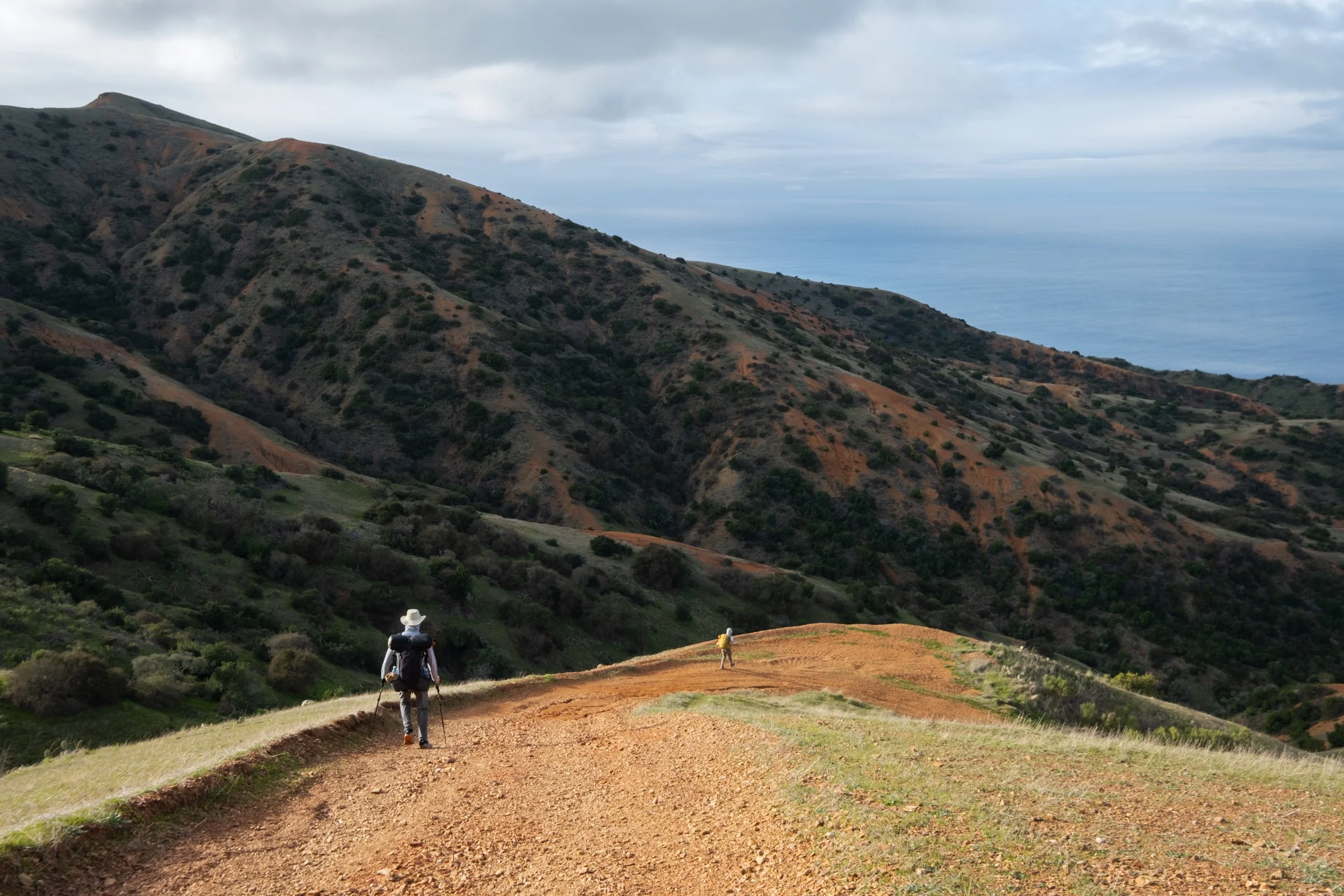
Typical Trans-Catalina trail aka old dirt roads.
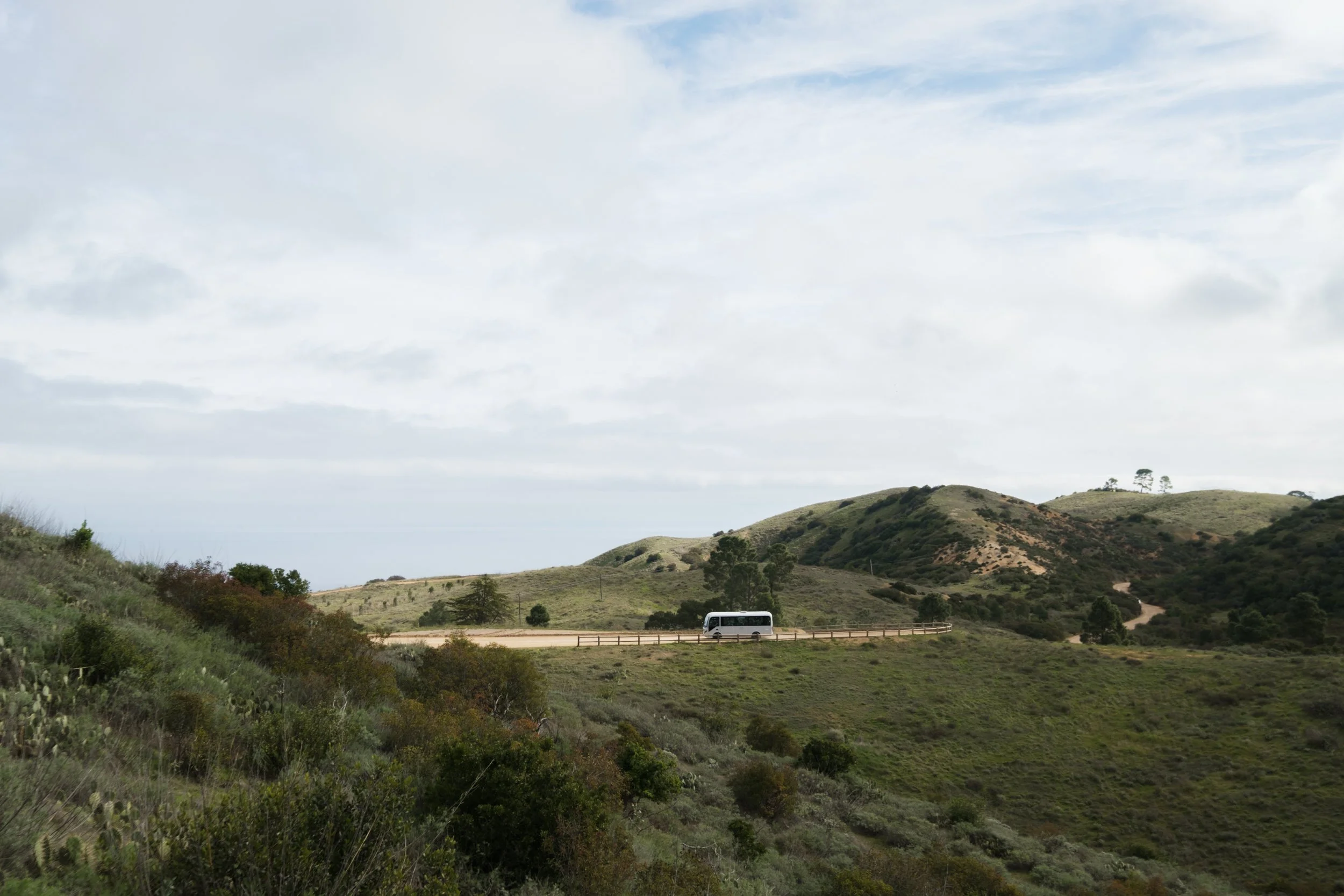
You never get very far from civilization on the Trans-Catalina Trail, and that has its pros and cons.
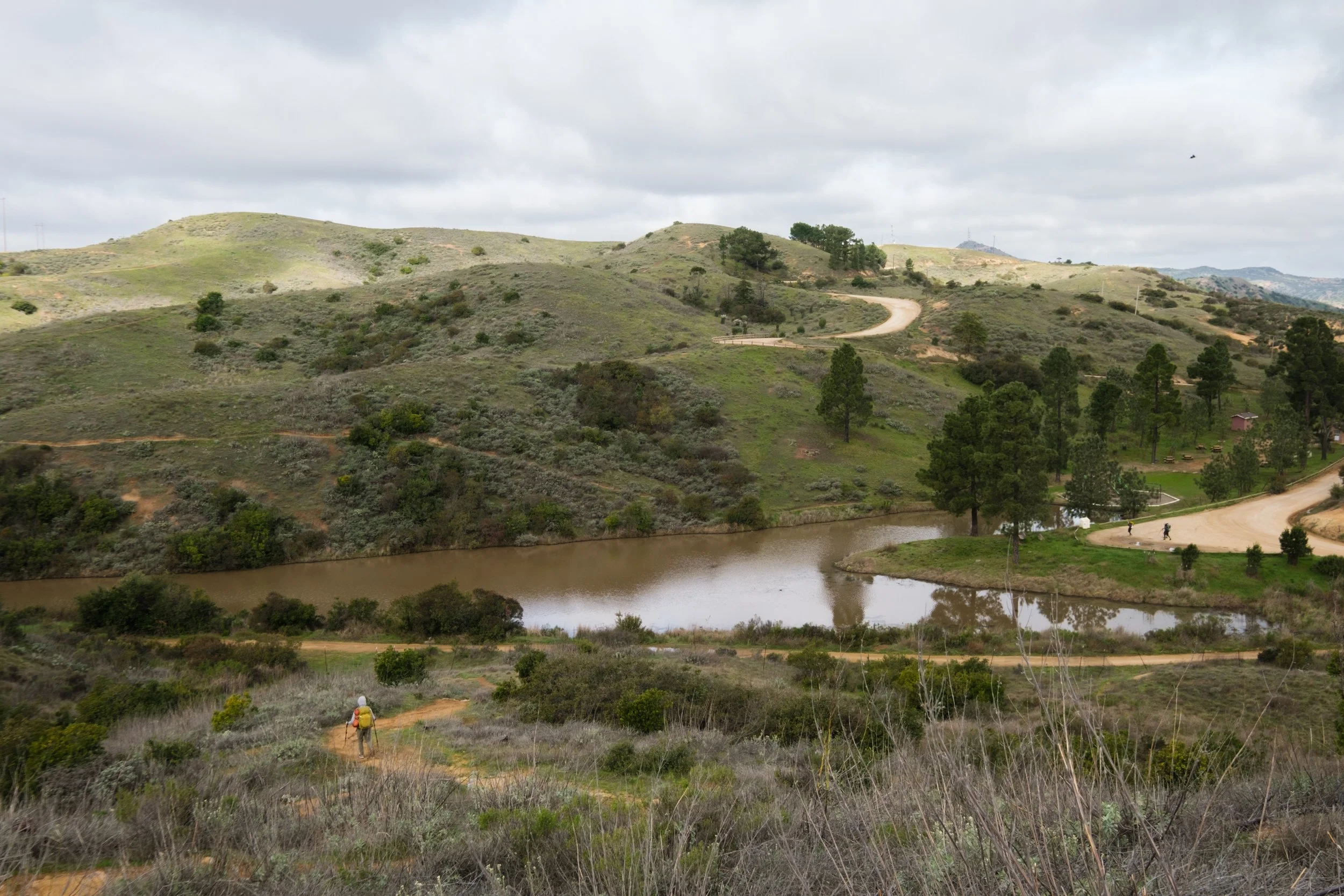
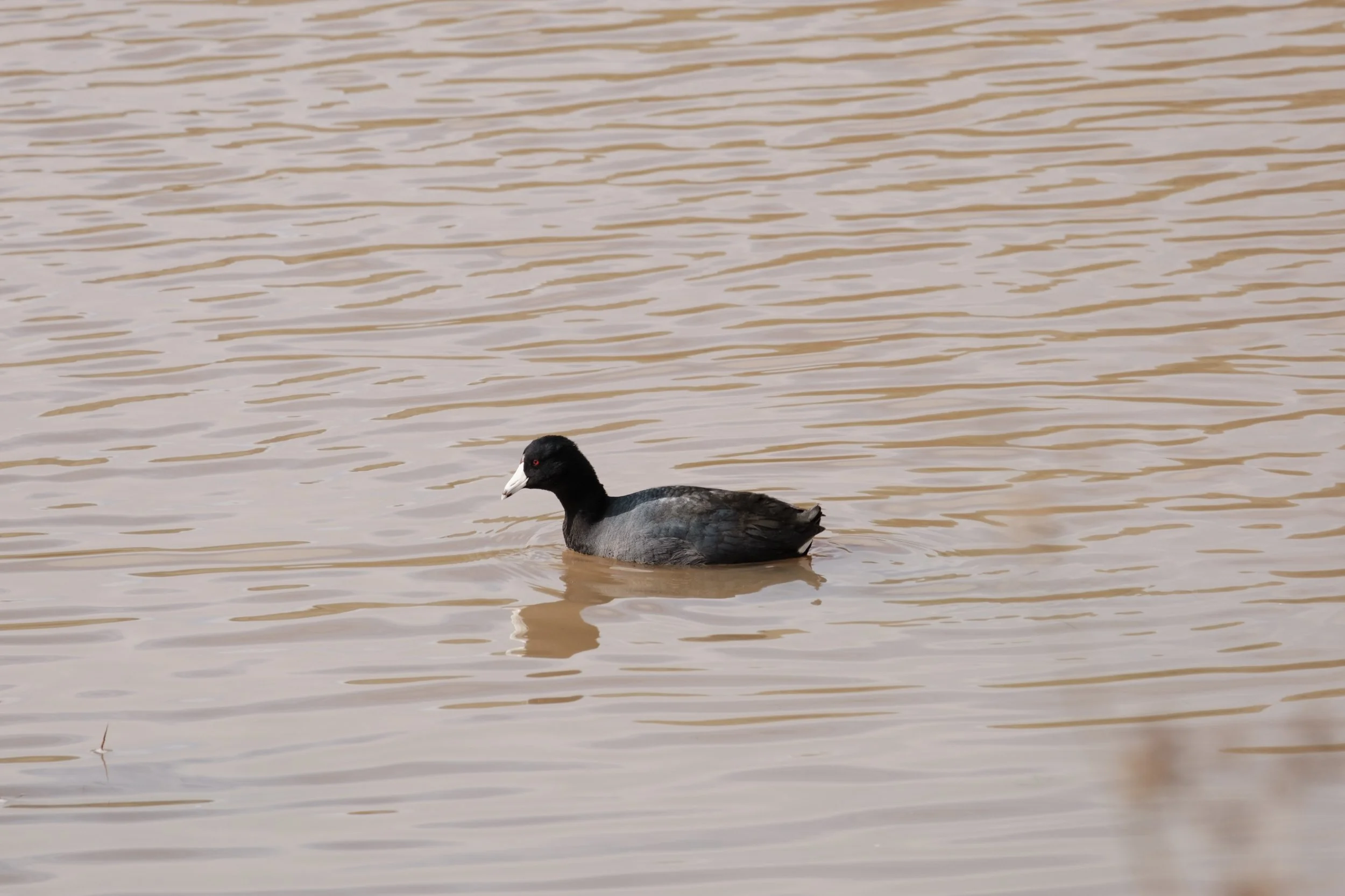
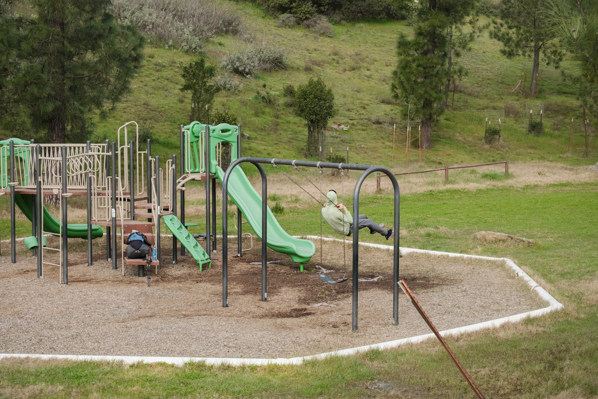
We got to Haypress Reservoir after another hour of hiking. It was 9:30 AM and we were done with 6 out of 18 miles. Not bad! Haypress Reservoir had picnic tables, a water spigot, and spacious pit toilets with toilet paper and hand sanitizer. And a whole playground! It really didn't feel like we were on a backpacking trip. There were some interesting ducks that had black bodies and white beaks paddling in the brown reservoir water. We also saw other hikers on the TCT for the first time that day. It seemed like they got dropped off there since the reservoir is road accessible.
Haypress Reservoir
Saw quite a few American coots swimming around in the reservoir
A playground set in the middle of our very non-wilderness backpacking trip
Warning: the trail gets a bit brushy around the reservoir area and I’m pretty sure this is where I got my poison oak rash from.
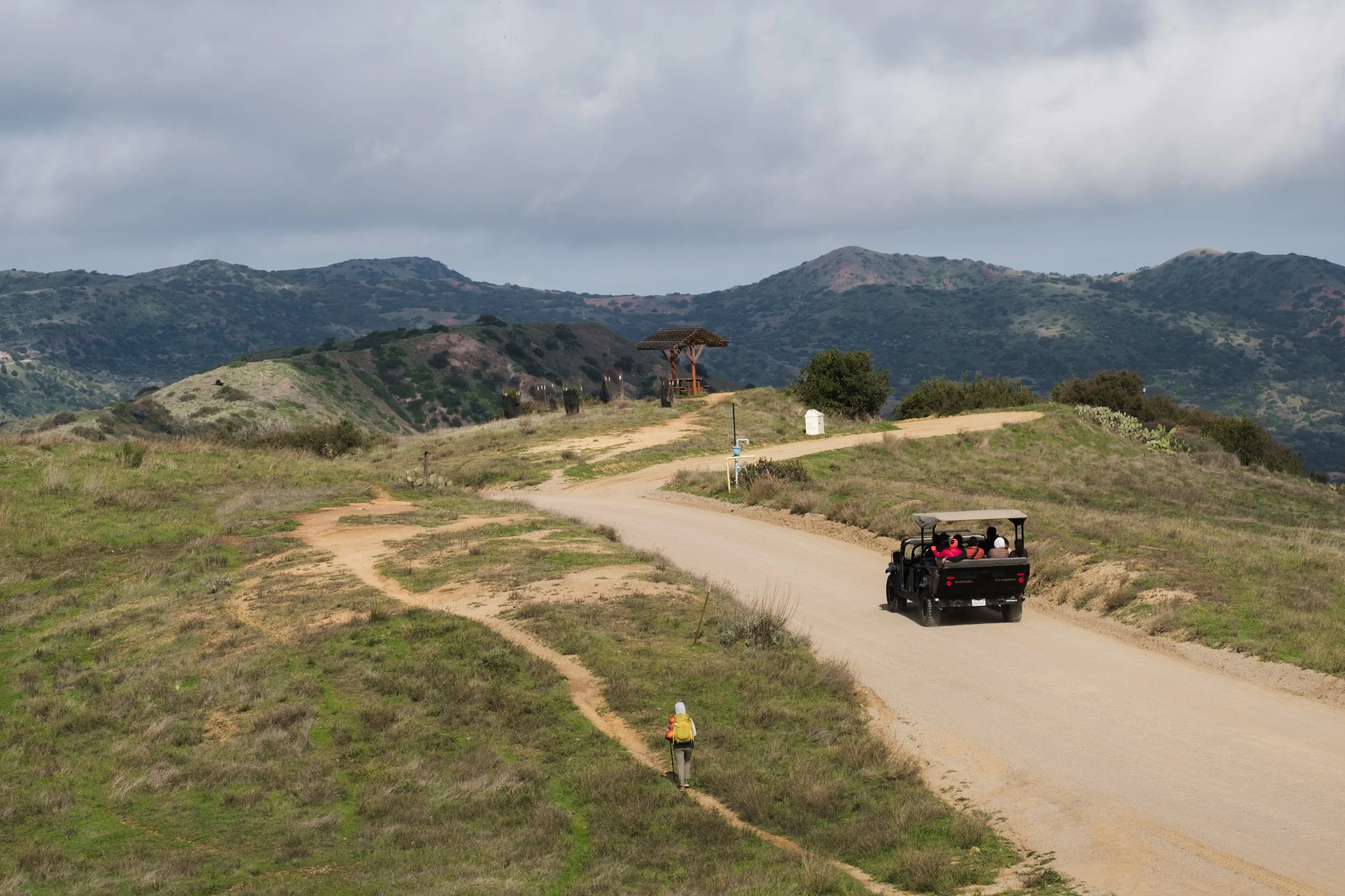
The TCT overlaps with active dirt roads at some points, but these sections were pretty short. When we were hiking on Airport Road, several open-air Jeep-style vehicles filled with tourists passed by us. I commented to my friend that it kind of felt like they were on a safari and we were the wildlife. She said she was thinking the same thing, which I thought was hilarious.
We made it to Black Jack campground at mile 9 and used the bathrooms again (very nice pit toilets again). There were no views here, but it was a spacious campground. We ate some snacks here just to hold us over 2 more miles until our real meal at Airport in the Sky.
Airport in the Sky has a gift shop and an ample menu of made-to-order foods. There were picnic tables outside to take a break and eat (whether or not you ordered food or not). The shop also sold other food like chips, cold drinks, $10 gourmet rice krispies, and frozen juice bars. We all ordered lunch as well as a turkey avocado sandwich to-go for dinner. This sandwich is specifically their hiker offering since it's cold and wrapped nicely in aluminum foil.
After Airport in the Sky, it's *almost* all downhill. Emphasis on almost, because it turned out we still had a lot of ups and downs left on boring fire road. Finally, we turned off on to Big Spring Ridge trail, and this was my favorite section of the day. We could see the coveted Little Harbor in the distance, the sun was setting, and cacti-covered hillsides abounded.
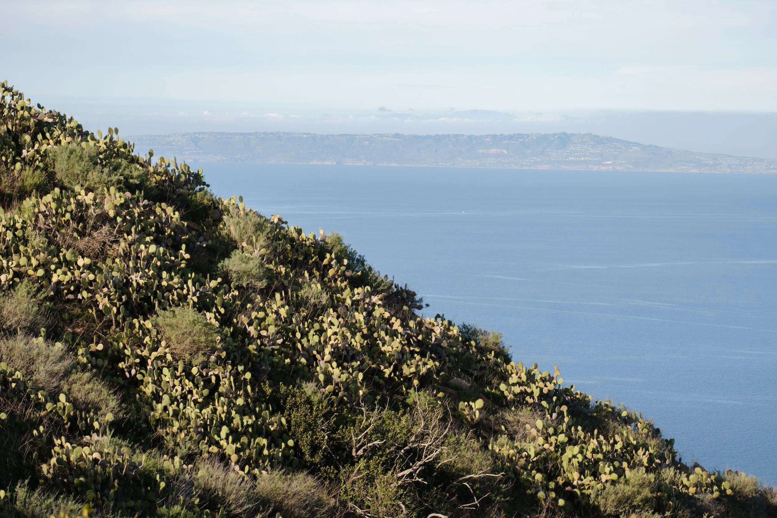
You can see the mainland in the distance at some points on the TCT
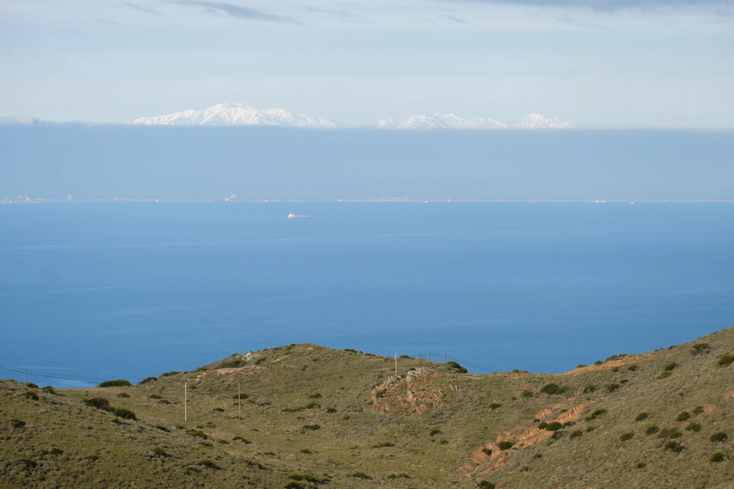
Unexpected view of the snowy LA mountains across the ocean
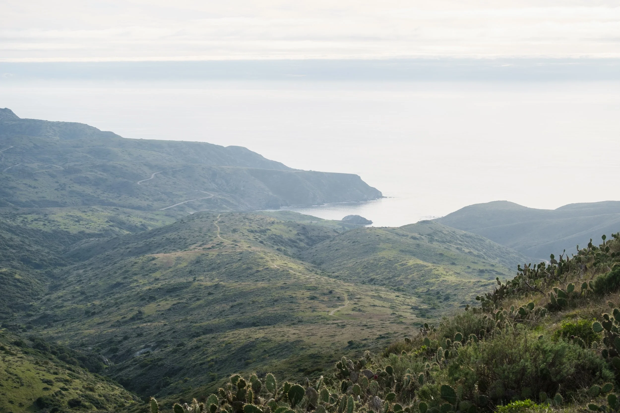
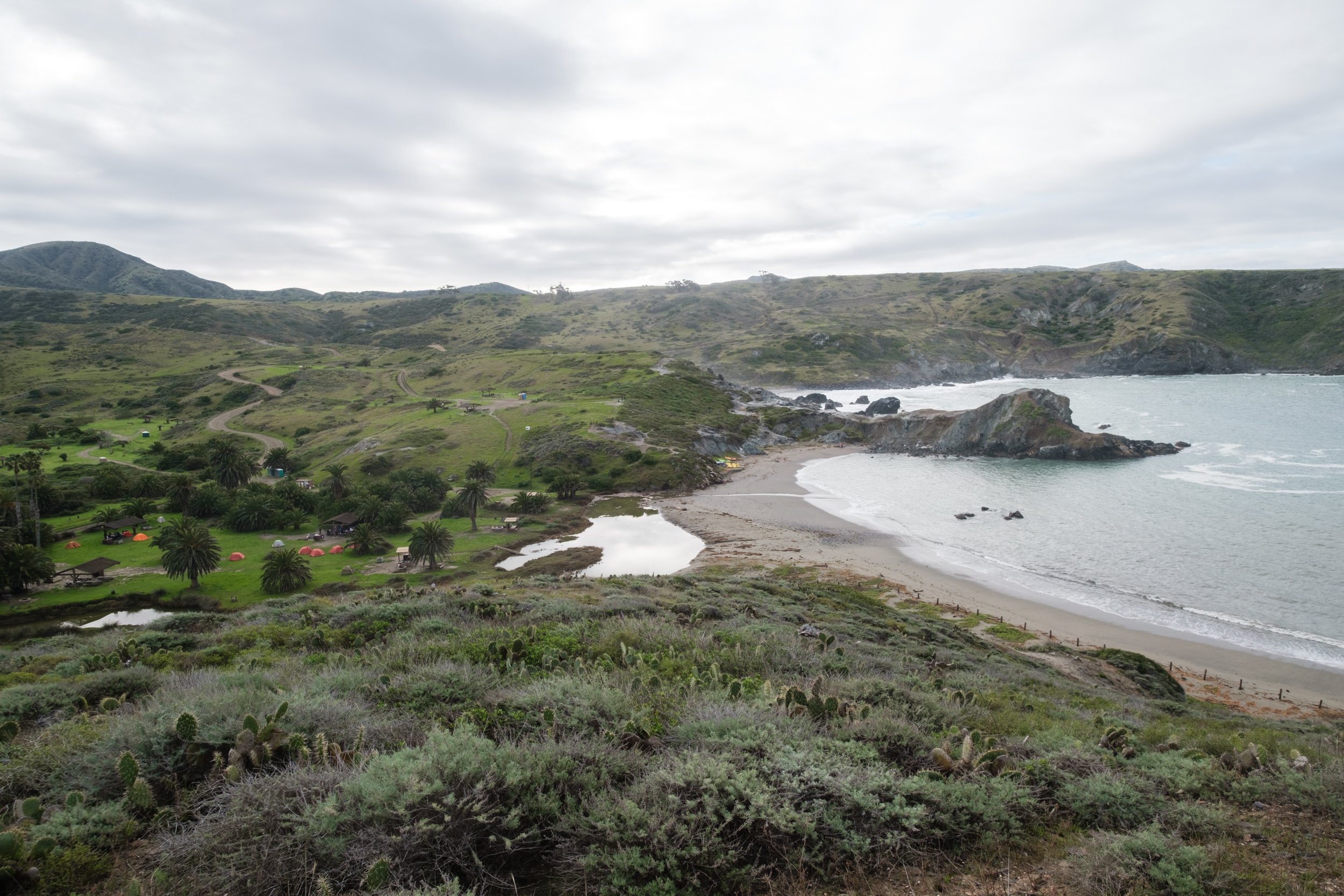
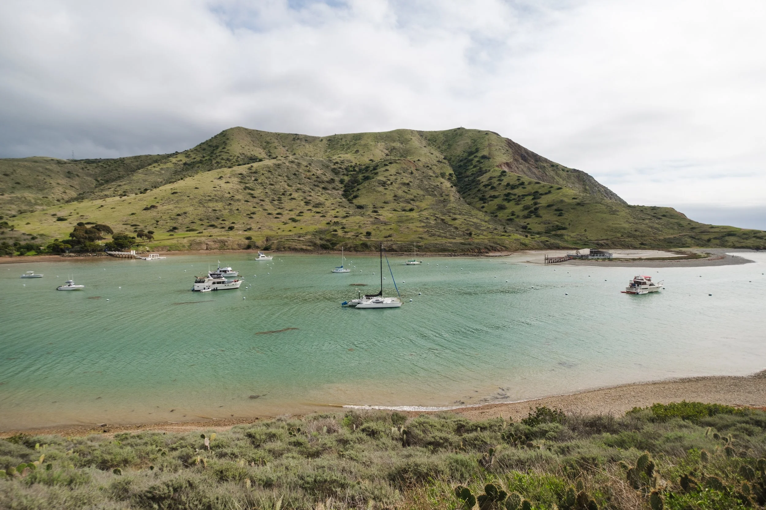
The cove that contains Little Harbor and Shark Harbor can be seen in the center of the photo.
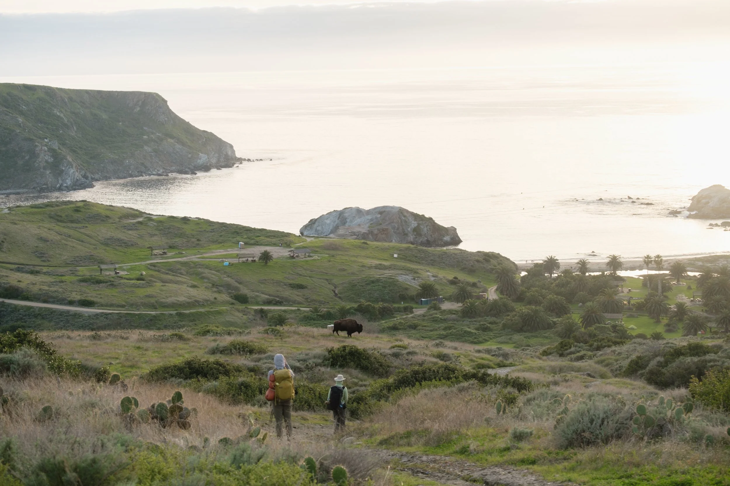
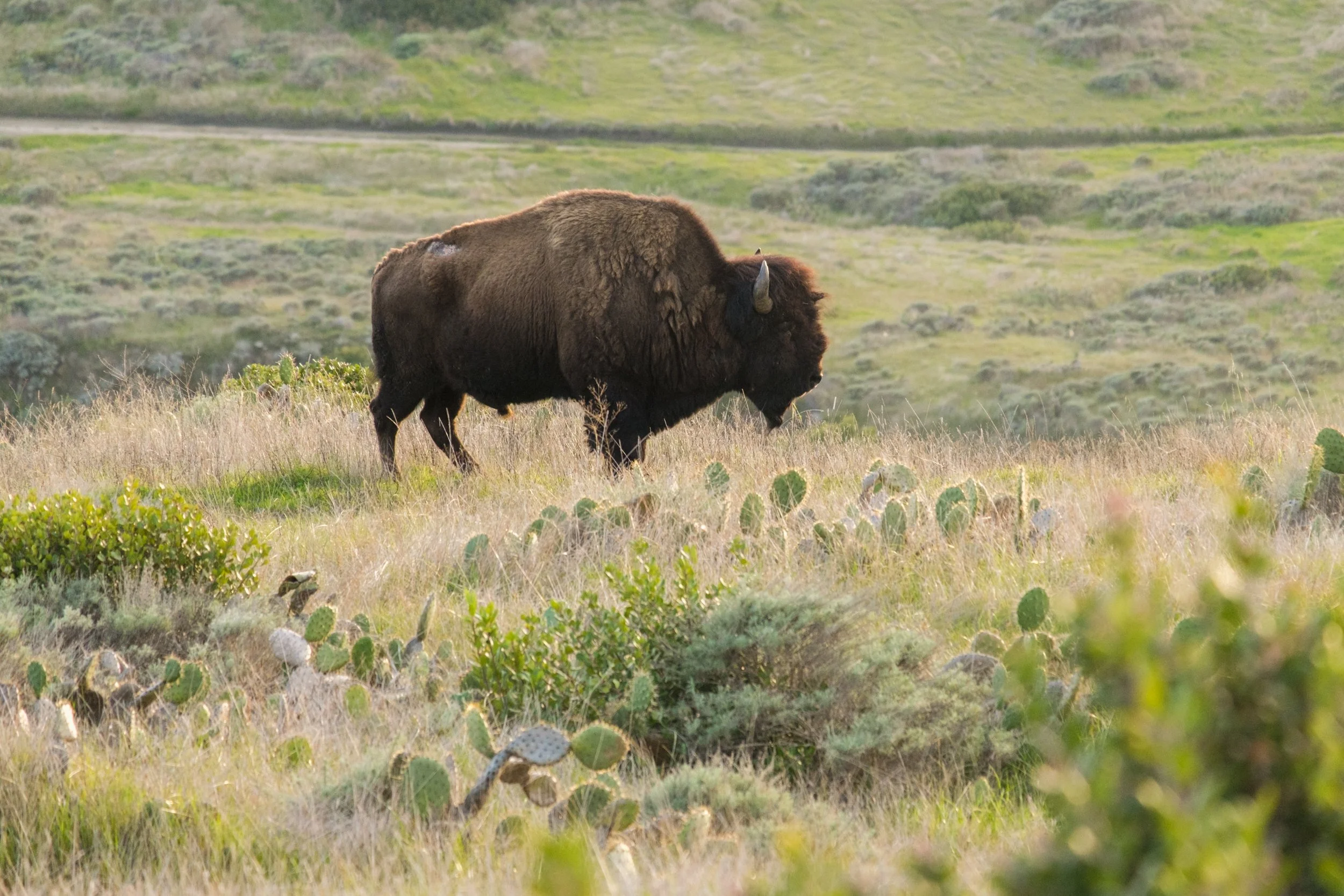
Right as we were making our final descent into Little Harbor, we saw a bison on the side of the trail posed picturesquely with the ocean and campground in the back. It was exciting! We had only seen one earlier today, and it was really far away.
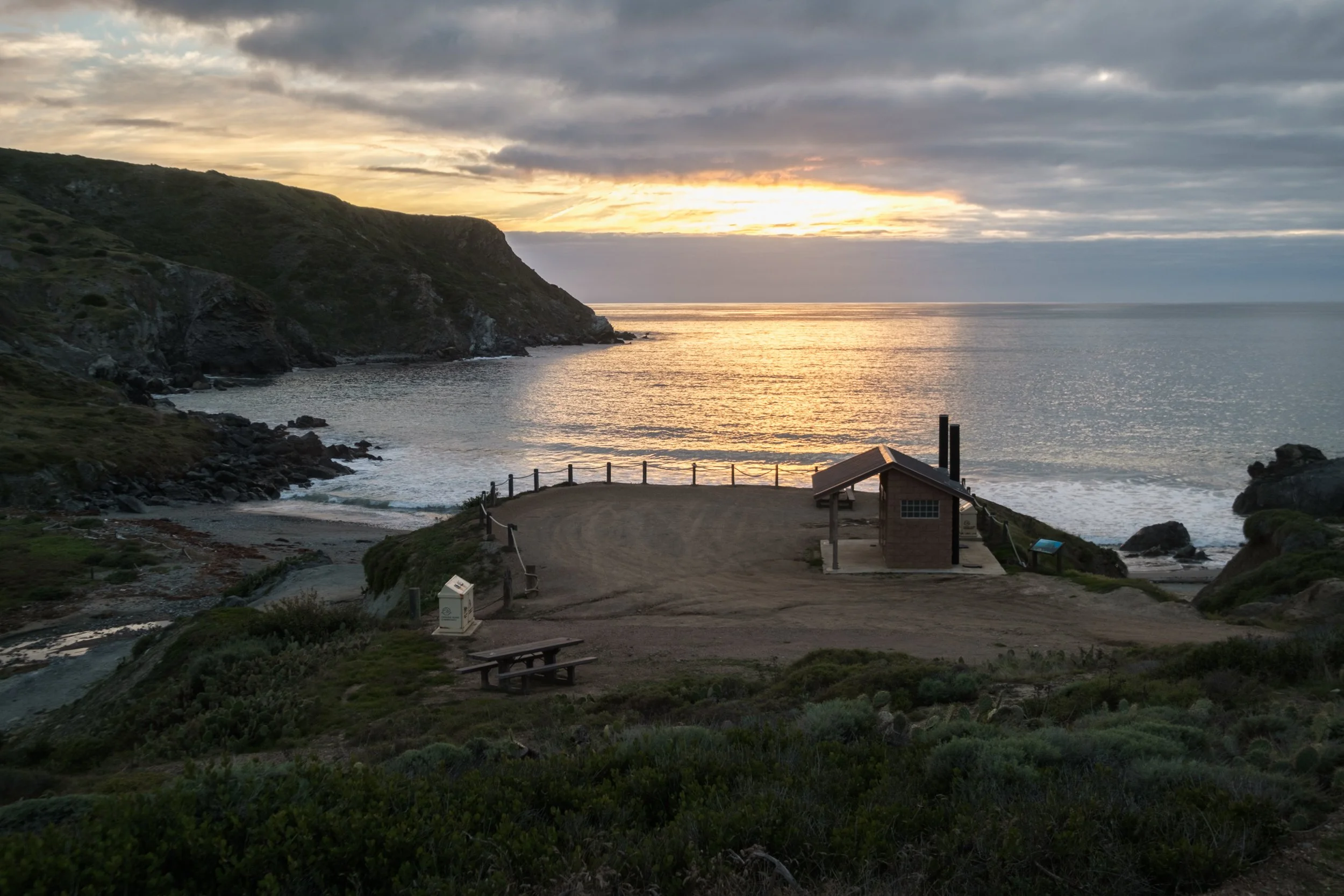
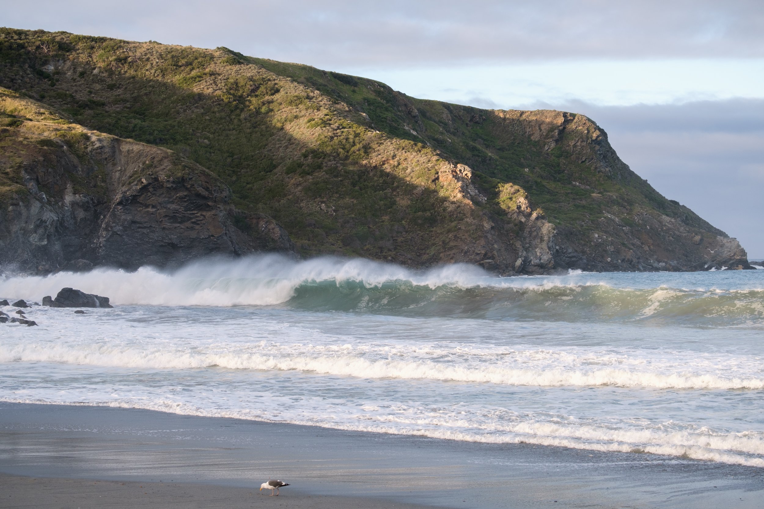
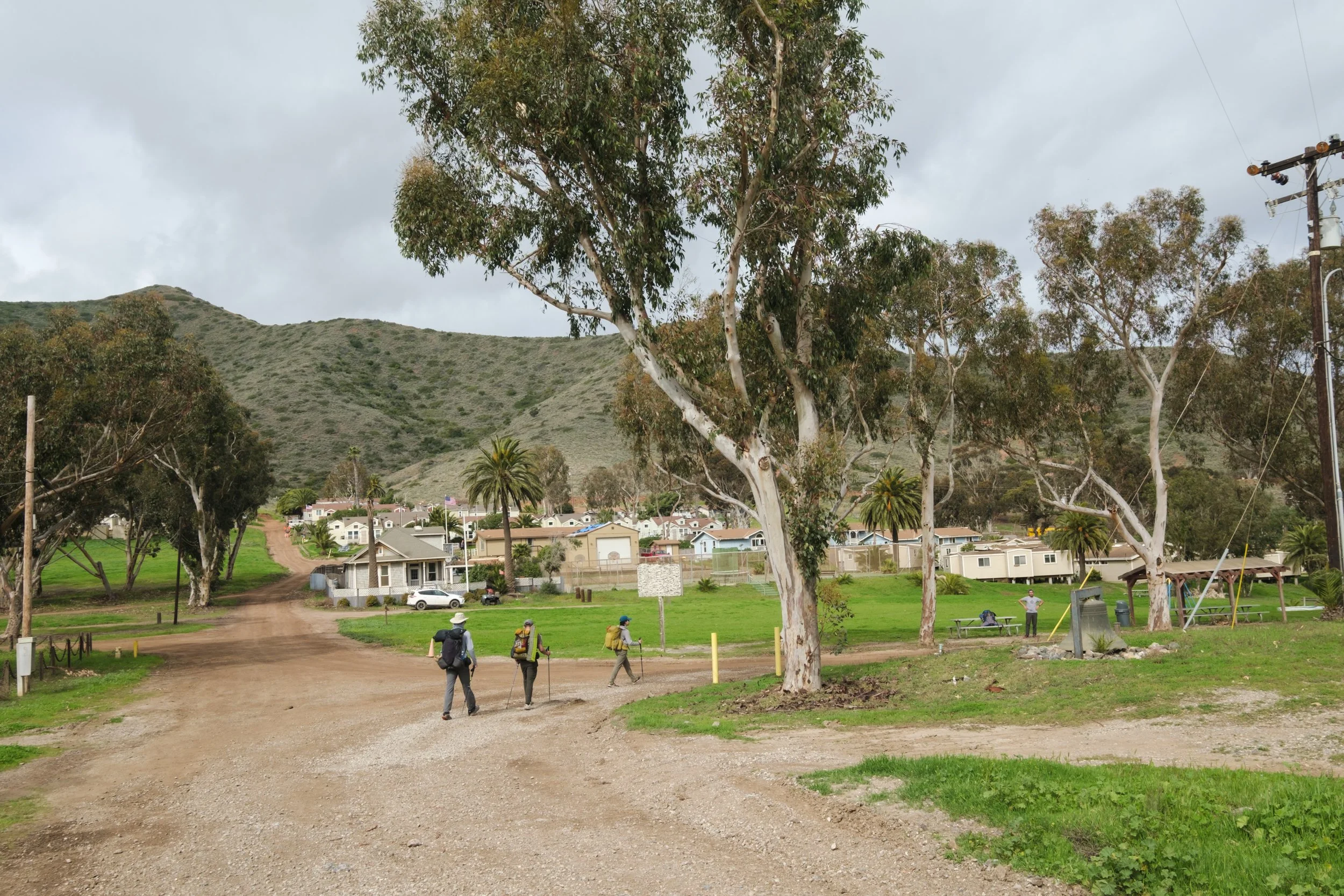
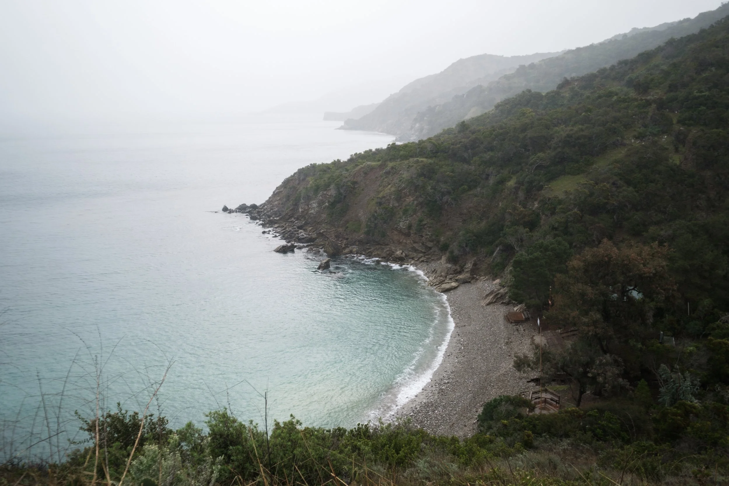
The trail reaches Little Harbor before Shark Harbor. They are a mere 0.3 miles apart, but it felt longer since we were racing the setting sun. Shark Harbor felt more isolated with only 3 campsites compared to the much larger Little Harbor, which looked like a little town (we walked through it the next morning, and there were so many large groups). Shark Harbor had a lot of washed up seaweed when we were there, and that attracted clouds of flies. The seaweed smelled pretty bad also.
A glimpse into Little Harbor as we were on our way to Shark Harbor
Shark Harbor (the pit toilet and trash cans are above the beach)
Site B at Shark Harbor. Shark Harbor sites are directly on the beach.
Day 2: Little Harbor to Parsons Landing
Today, we hiked from Little Harbor to Parsons Landing, which involved two big hills. The first went up and then all the way down to sea level again at Two Harbor's, and the second went up and then all the way down to Parsons. It was not an easy day, but the views were beautiful, and the hot pizza at Two Harbors was rejuvenating!
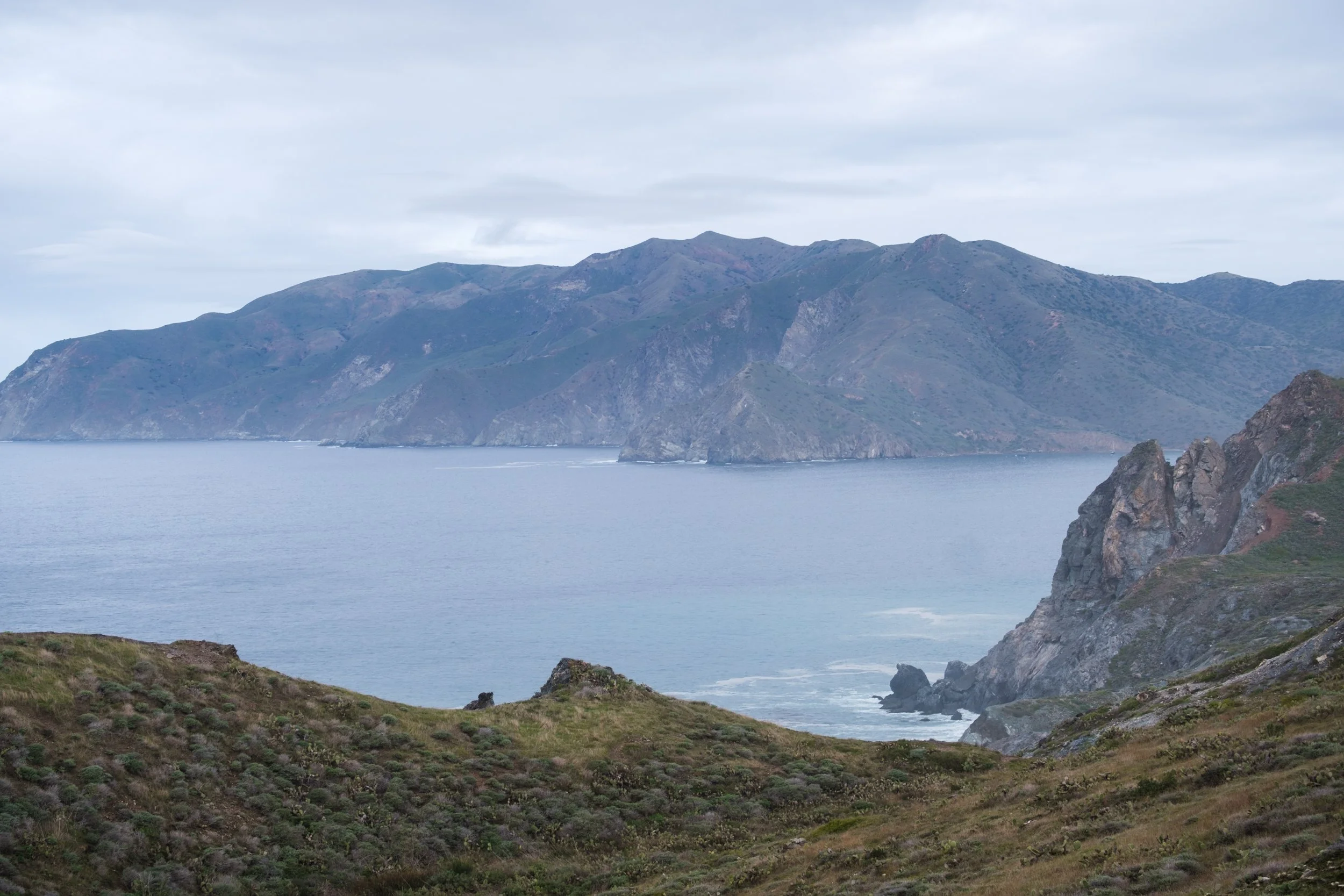
The weather in the morning was somewhere between sunny and cloudy. The air was full of moisture and it made the lighting really soft and magical. Since we were on a ridge, we had unobstructed views of the rugged coastline on our left and the island's hilly interior on our right.
Our morning view at Shark Harbor
Looking back at Little Harbor. Most of the sites are not beachfront, but they are very close!
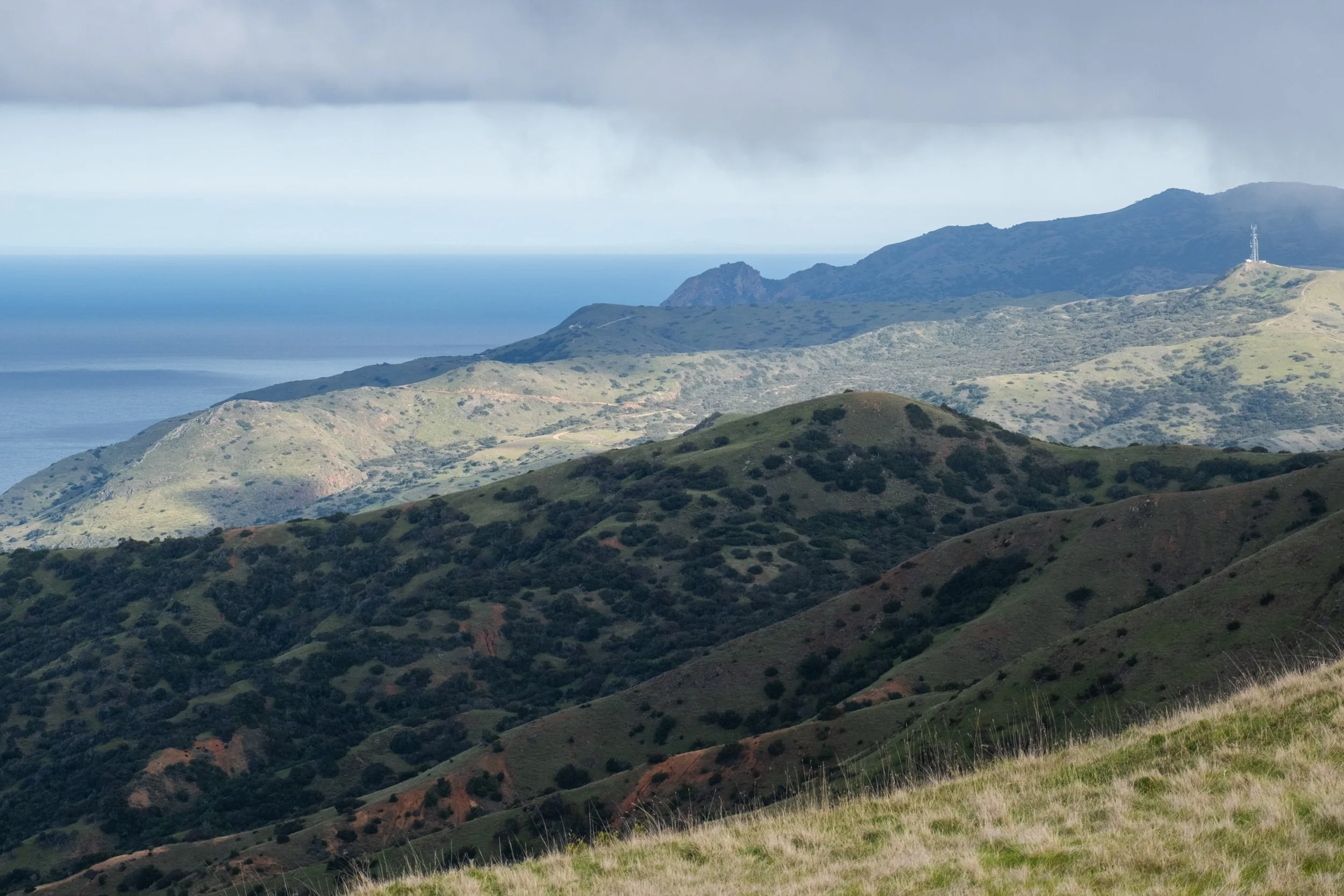
One of the iconic views of the many ridges of Catalina Island
Looking into the hilly interior of the island that we’d be hiking later this afternoon before descending to Parsons Landing
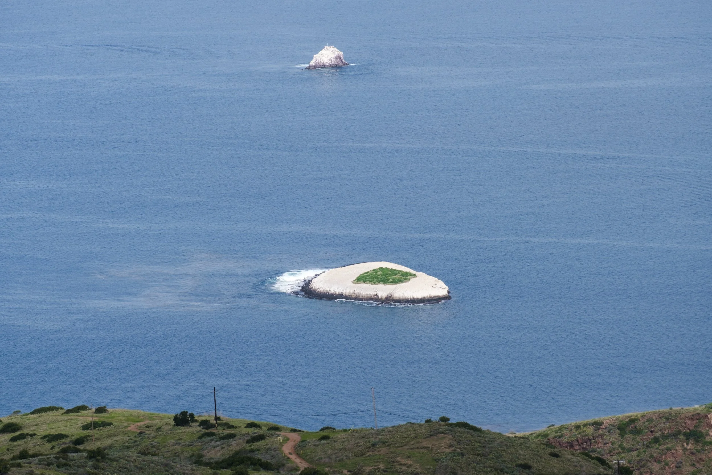
Bird Rock from above. That green patch makes it look like they have their own little golf course in the middle!
Almost at Two Harbors!
Finally, flat road.
The descent into Two Harbors killed my knees and it was hard to believe that we still had the bigger half of our day's hike left.
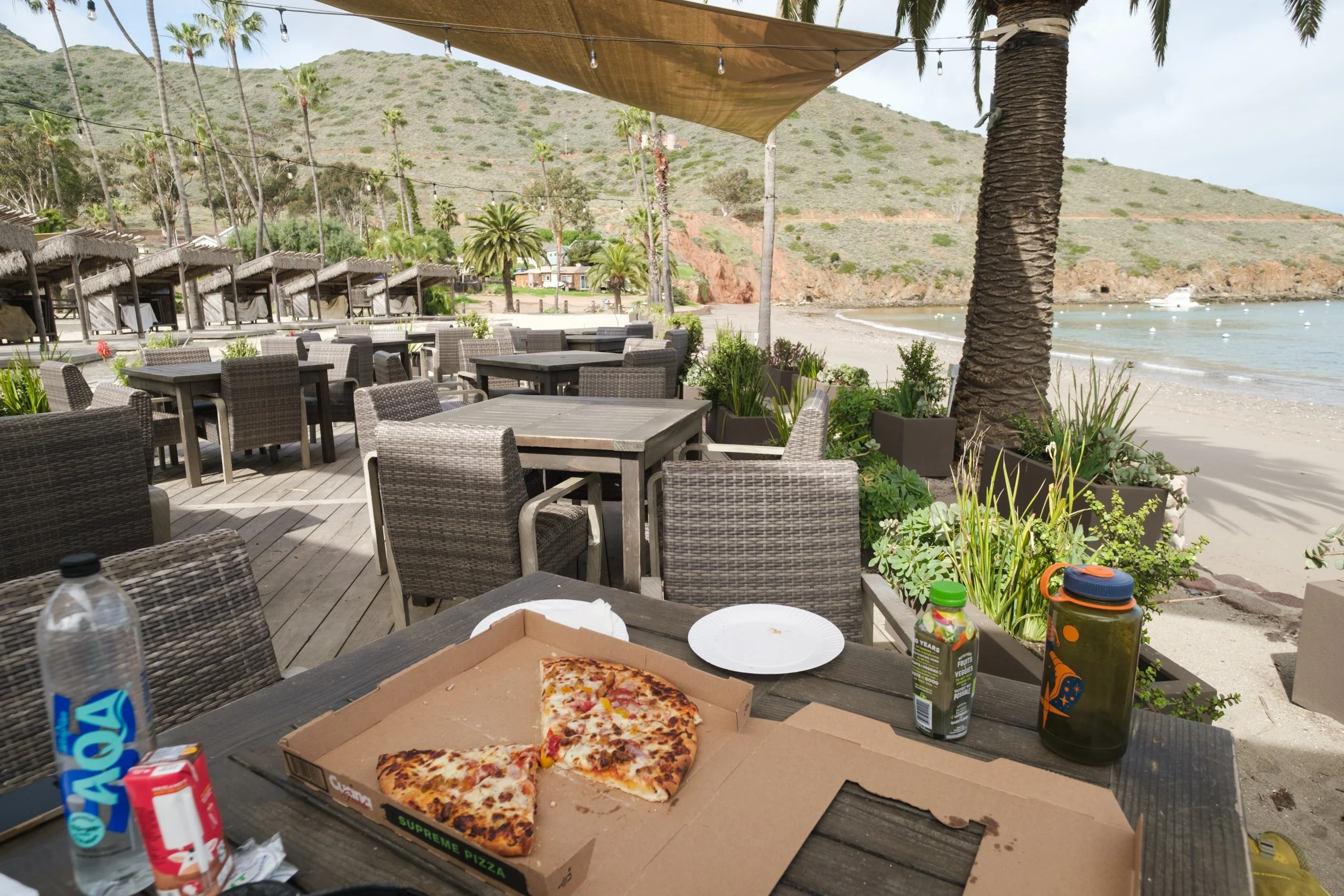
We went to The Two Harbors general store to shop for both lunch and dinner, and the options were overwhelming! The store is well-stocked with all sorts of baked goods and breads, canned foods, instant foods, freeze dried backpacking meals, and even frozen foods. There was produce too, but the produce was not in good shape. This probably depends on how soon you’re there after their restocking days. A lot of the selection was not single-person-friendly though. So unless your group wants to coordinate sharing a loaf of bread, or 6 bagels, then your options are more limited. Everyone was on board for sharing a hot pizza though. That hit the spot.
Enjoying pizza and patio furniture
Two Harbors has free cold showers that I was hoping to take advantage of, but I didn't realize they were in the campground half a mile too far. I decided to just wait until the next day for the hot coin-op showers, which were in Two Harbors proper.
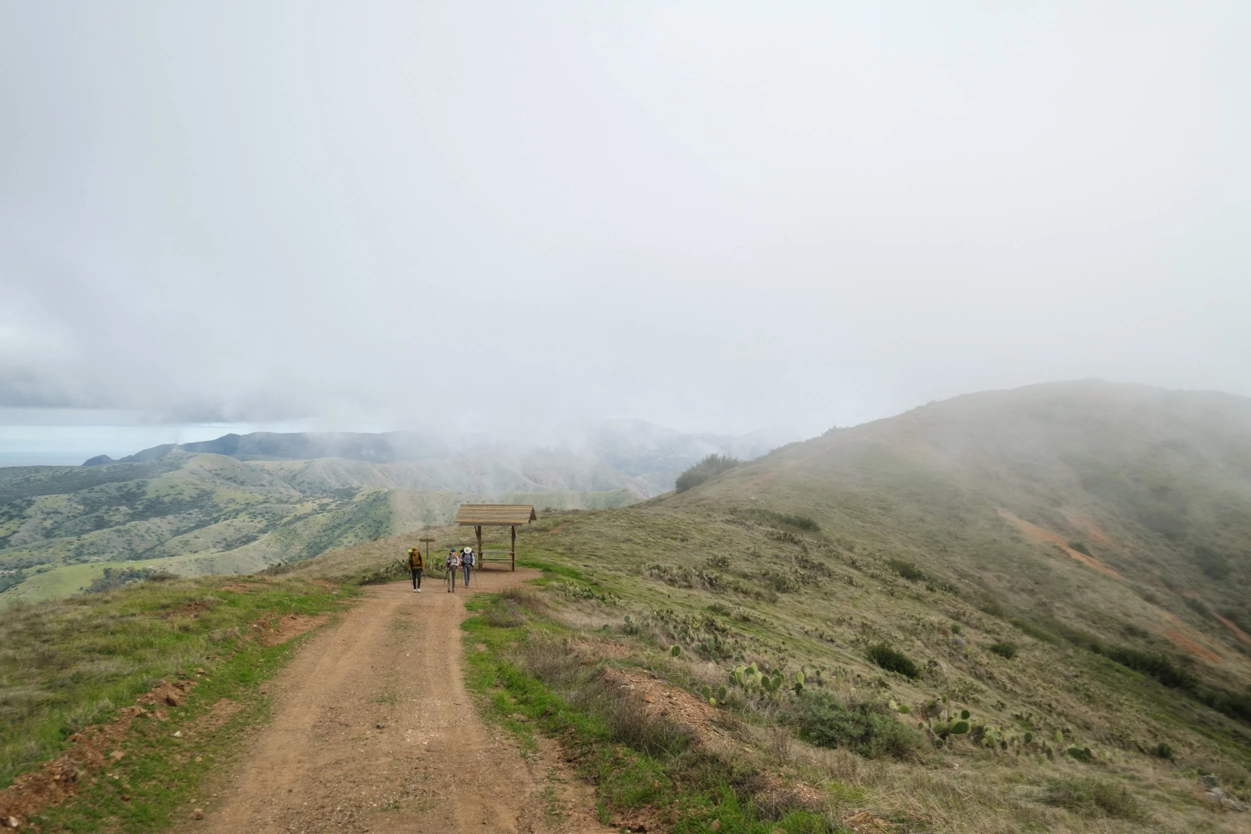
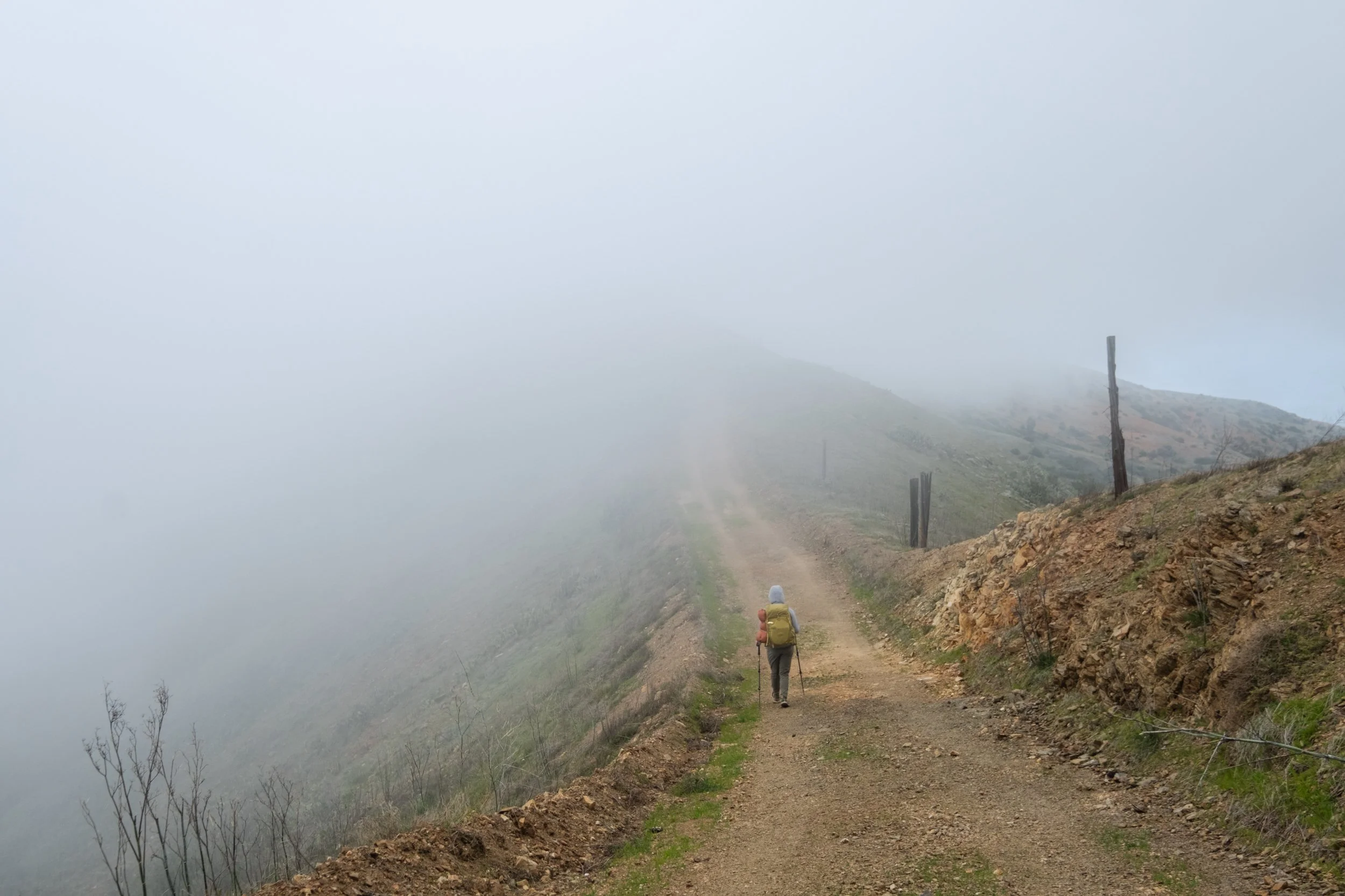
After a leisurely 2-hour lunch break, it was time to start the second hill of the day. Maybe it was the mental preparation or the big dose of calories at lunch, but it was not as bad as I had imagined. We all stopped talking and settled into the groove of our own pace, which meant that the boys disappeared far in front while my friend and I went slow and steady in the back. This section was another ridiculously steep fire road, but the fog started to roll in and cool us down. In less than an hour, the climb was mostly over and we crested the ridge at Lobster Bay Overlook, which is marked by a wooden structure. After the overlook, the trail goes up and down along the ridge and the views are much nicer.
There is a short stretch of flat walking until Wells Beach (above) before the start of the ascent.
Passing by Cat Harbor, the other side of Two Harbors. The campground and ferry landing are on the Isthmus Cove side.
The climb out of Two Harbors is steep and short, and you’re on top of the ridge before you know it
The wooden structure at Lobster Bay Overlook. A faint path can be seen going to the right to get to the true overlook.
Foggy views from the ridge section
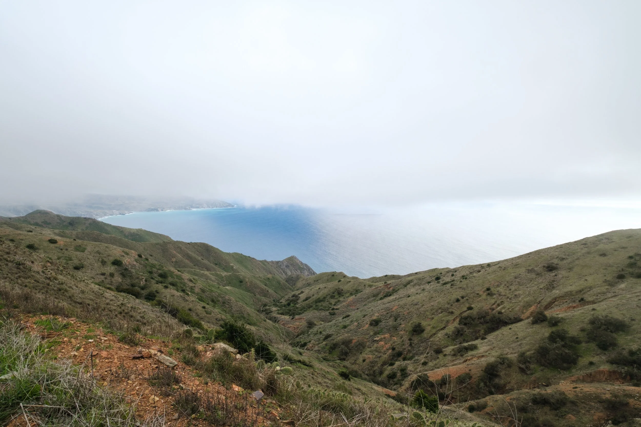
The water looked unnaturally blue in the distance where the sun was not hidden by the thick fog.
The sun came out! I love how much lighting can transform a scene. That’s why I’ll always take fickle weather over clear blue skies when hiking. It keeps things exciting.
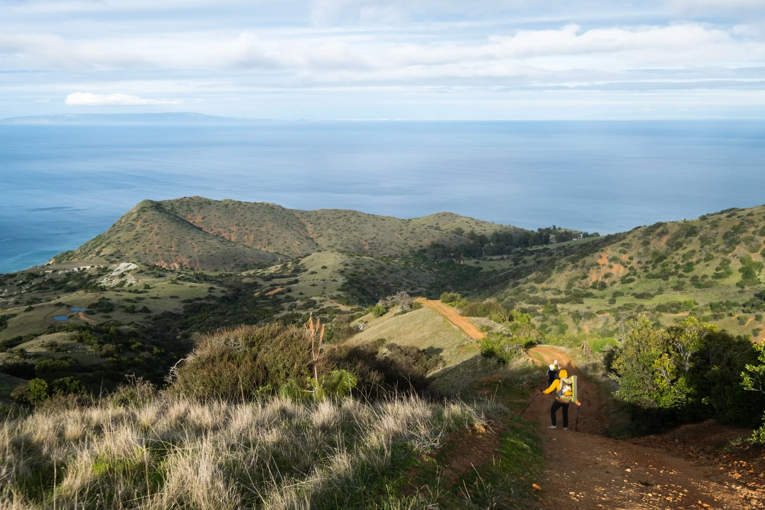
The descent to Parsons Landing on Fenceline Road is known for being treacherously steep, and it lived up to its reputation. It was so steep that even with hiking sticks it was kind of scary (it’s not dangerous, but I’m not that good with balance). I sat down and butt-scooted some sections.
Gorgeous views at the Fenceline Road junction, at the top of the descent to Parsons Landing.
The slippery descent to Parsons Landing. Definitely need hiking sticks here.
And here. It looks deceptively flat in photos!
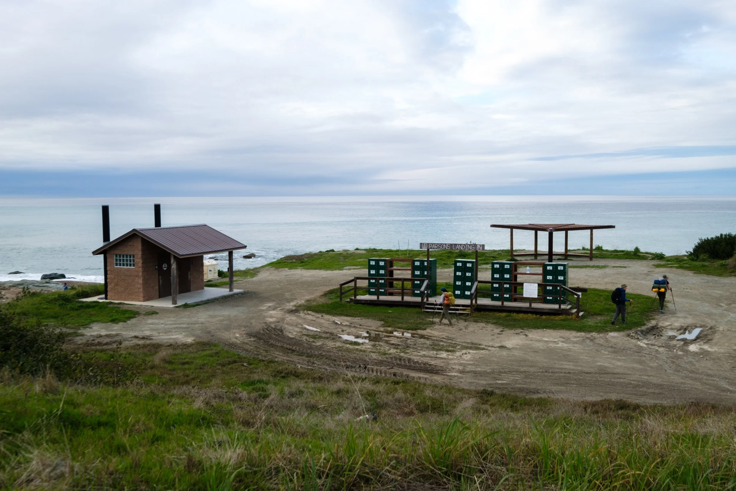
After a demoralizing downhill, we got to Parsons Landing. We picked up our prepaid water jugs and firewood from the lockers, and then headed to the sand to set up our tents. The sites at Parsons Landing are all on the sand, but they are spaced far away enough to create a sense of privacy.
We usually don’t make fires on backpacking trips since it’s not allowed in a lot of places. But every Catalina Island campsite has a fire pit and the firewood is delivered to you, so of course we had to take advantage of it. It took a while to get the fire going even with the included fire starter. The boys needed to cook their frozen chicken nuggets they got from the Two Harbors general store, so they persevered.
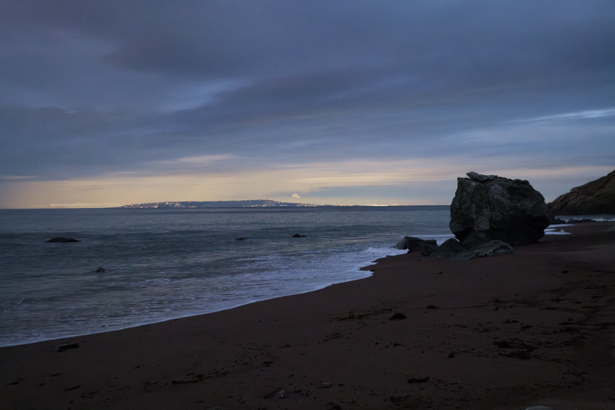
As it got darker, the city lights from Long Beach started coming on. It definitely felt strange to see city lights instead of star-filled skies, and to be able to watch YouTube videos on how to use fire starter during a backpacking trip.
The rain came right as we were wrapping up dinner, so we quickly got ready for bed and then sheltered in our tents for the rest of the evening.
The lockers and bathroom at Parsons Landing. The beach and sites are down to the left.
The campsites. I don’t have the most aesthetic photos of Parsons Landing, but it was a really nice setting.
We could see the glow of city lights across the water.
Day 3: Parsons Landing to Two Harbors
It wasn’t raining when we woke up the next morning, but it definitely looked like it was on the verge of it. Sure enough, the rain came right after we finished packing up. The trail from Parsons Landing to Two Harbors is mostly road-walking, but some sections at the beginning that had more dirt and less gravel were extremely muddy. I think the steeper parts of the trail would have been impassable that morning, and the conservancy does enact trail closures sometimes in rainy conditions. The hike out was 7.5 miles and we had an early 11:30 am ferry to catch, so we hiked without any stops.
We made good time and got to Two Harbors in just under 2.5 hours. I was cold and wet and the hot shower at Two Harbors could not have been more perfect.
I bought some snacks at the general store and we waited around for the ferry. It was still raining and there was not much seating in the harbor area that was out of the rain. The ferry ride out was completely packed.
While it is more spendy than the usual backpacking trip, our winter Trans-Catalina hike was stunning. I would highly recommend it to anyone looking to do a winter backpacking trip in luxury!
