Island Lake, Twin Lakes, and Little Pyramid Peak
Trip at a Glance
| Distance | 7 miles |
| Elevation Gain | 1,250 feet |
| Elevation Range | 6,962 - 8,174 feet |
| Length | 2 days |
| Permit | Twin (Zone 32) |
| Highlights | Wrights Lake, Twin Lakes, Island Lake, Little Pyramid Peak, Enchanted Pools, Mount Price, Tyler Lake |
| Type | Out-and-back |
| Date of Report | June 19 - 20, 2022 |
The Route
| Day | Destination | Miles | Gain | Loss | 1 | Wrights Lake to Island Lake | 3.5 | 1250' | 0' |
|---|---|---|---|---|
| Little Pyramid Peak | 2-3 (off-trail) | 1300' | 1300' | |
| 2 | Island Lake to Wrights Lake | 3.5 | 0' | 1250' |
Trip Overview
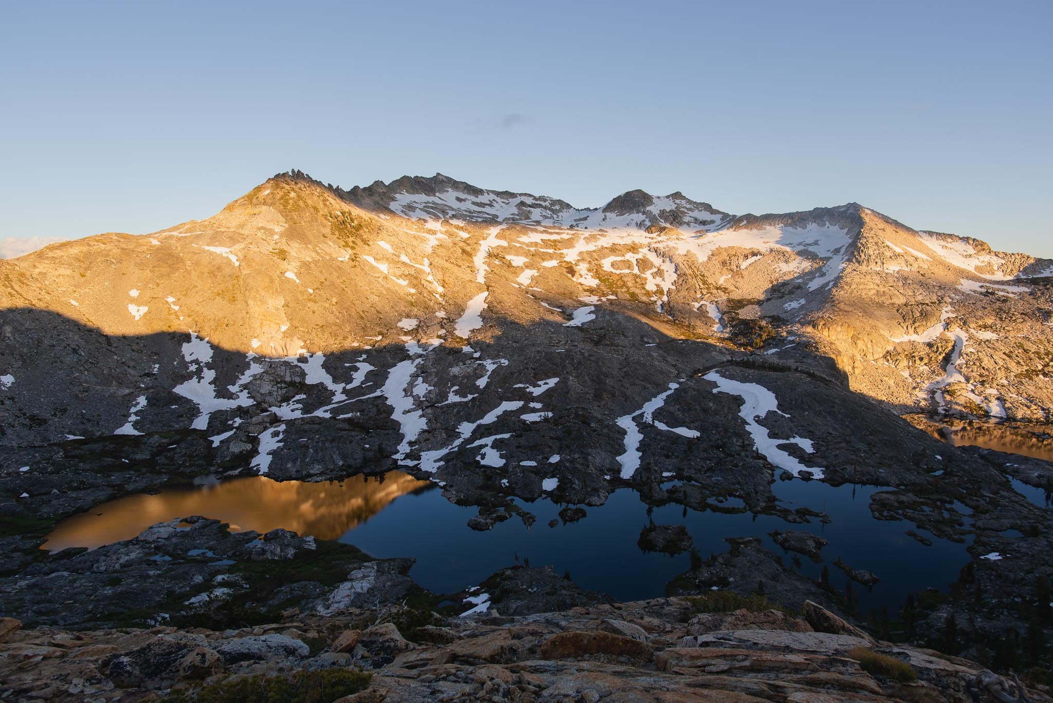
Island and Twin Lakes is a high-reward and low-effort overnight backpacking trip at only 3.5 miles one way. This makes it a great backpacking trip for beginners, which is why I took my sister who had never backpacked before. The Island and Twin Lakes basin is located in Desolation’s Crystal Range, and it’s a close neighbor to Lake Aloha just on the other side of the Mount Price ridge. The sun lights up these peaks at sunset, creating a stunning backdrop for your lakeside camping views.
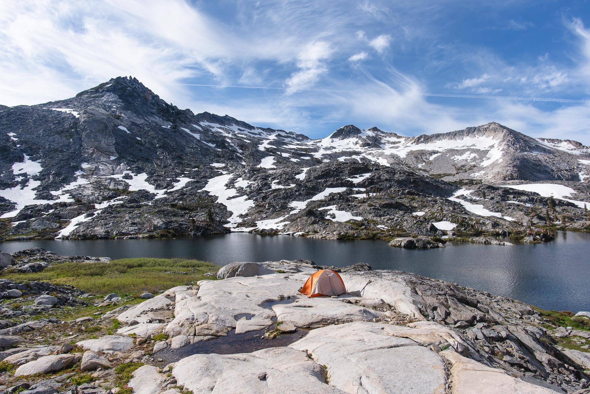
There are campsites at both Island and Twin Lakes. The sites by Island Lake, where we camped, are on the northern shore of the lake. Island Lake is a little less accessible than Twin Lakes since there is no maintained trail leading to it, but I think setting up camp there is preferable if you want more solitude. It's also more scenic in my opinion since the campsites face the Crystal Range.
Since these lakes are only a few hours hike in from the trailhead, you’ll have plenty of time to either relax by the lake or do some adventurous scrambling up to nearby peaks such as Little Pyramid Peak or Mount Price.
To make this backpacking trip into more of a loop, you can also consider traveling off-trail to the Enchanted Pools, either on the way to Twin Lakes or on the way back. The Enchanted Pools are a series of waterfalls and pools that make great swimming holes when the weather is warmer. Coming from Twin Lakes, the route splits off at Twin Lakes and heads downhill in the direction of Umpa Lake, following a creek. It does not join back to the trail until the last half mile before the Twin Lakes trailhead. You should be comfortable navigating with a map and route-finding if you decide to go off-trail.
Day 1: Wrights Lake to Island Lake
We started out our day with a 1.3 mile walk from the equestrian campground to the Twin Lake trailhead. The Twin Lake trailhead is located past the Wrights Lake Campground gate, and it’s often not accessible early season because the campground gate is closed during the winter. Mid-June in 2022 was probably right at the cusp of it opening, as the road and trail had already completely melted out by then. We didn’t mind the extra walk since most of it was along the shore of Wrights Lake, where the trail is padded by pine needles and shaded by trees. The lake was calm, and we spotted a few families who were staying in the cabins along the lake out and about on morning walks and canoe rides.
After Wrights Lake, the landscape transforms into granite slabs in every direction. While there were occasional lines of small rocks marking the trail, it was easy to walk anywhere on the rock, so we made sure to check the map periodically because it was easy to lose the trail. The early-season streams were swollen from the snowmelt, and in some places flowed freely over the smooth rock. I learned my lesson that wet rock is deceptively slick here after taking a painful fall about a mile in.
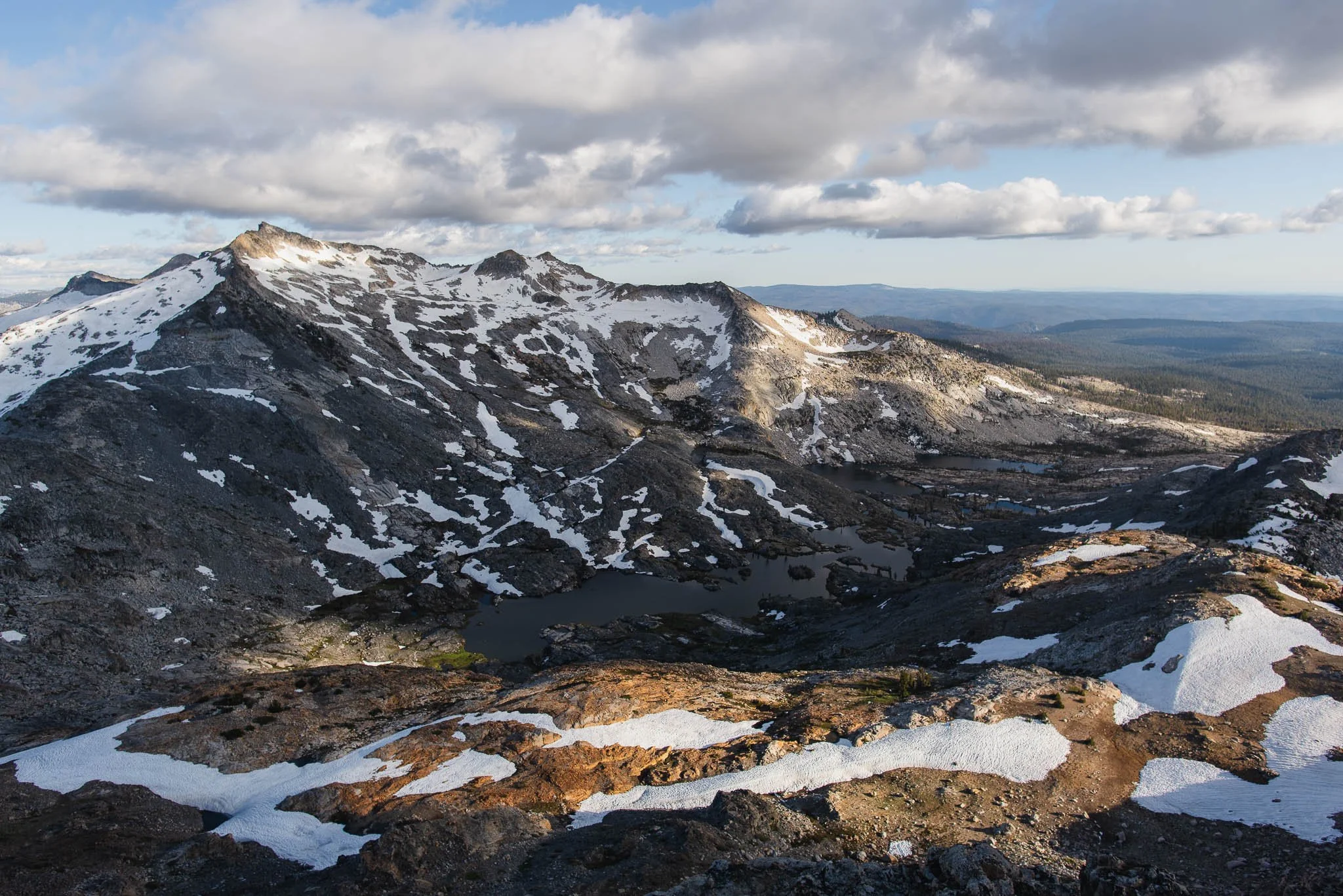
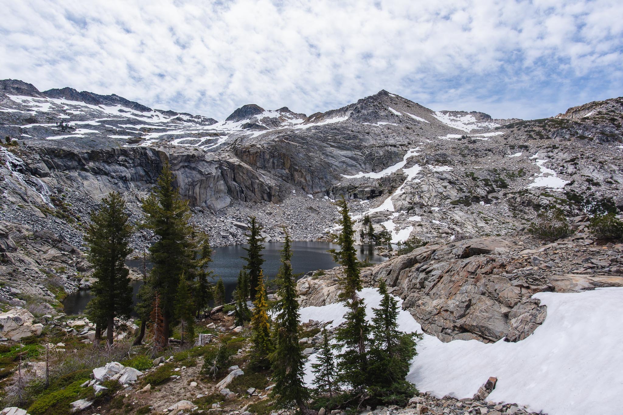
Around 1.7 miles in, we could already see the peaks of our destination peeking out above the trees. When we arrived at the south shore of the first of the Twin Lakes, we found several groups of day hikers taking their lunch break and enjoying the perfect weather. I'm not sure if there's a vantage point where you can see both lakes simultaneously, but there is a great view of Little Pyramid Peak. It’s the highest point in the range across the lake and has a distinctly triangular shape. After leaving the first lake, we crossed a creek to continue on the trail.
The first of the Twin Lakes. Little Pyramid Peak is darkened by the cloud’s shadow
Crossing the creek outlet from Twin Lakes. It was a little tricky to do it with our shoes on when the water level was so high.
On our way to Island Lake, there were some unique rock patterns with lighter veins of rock snaking through them. We also began to encounter clouds of mosquitoes. They weren’t everywhere, but every few minutes we’d suddenly walk into a wall of them. We flapped our arms to keep them away from our faces, but they died on our hands and clothes. My mind flashed back to the early season Tuolumne trip in June 2021 and the 70-something mosquito bites I got on that trip. Opening our mouths to speak or even exhale felt like they would wind up in our mouths, so we just walked as fast as we could.
Boomerang Lake
Between Twin Lakes and Island Lake, the trail faded into more of a use trail and became harder to follow. At one point along the lake, the trail disappeared into an overgrown and marshy patch of vegetation. We were searching for a campsite around Island Lake but struggling to find one that was both flat and not swarming with bugs. Eventually, we found a suitable spot on a strip of rock around the lake's halfway point. As we were setting up our tent, one of the bugs landed on the tarp, and I finally got a good look and, to my relief, confirmed that they weren’t mosquitos (a Google search after the trip makes my best guess midges). I had a feeling they weren't since we hadn’t felt itchy yet, but they sure looked a lot like them.
Looking for a campsite but being distracted by the amazing views
I think we ended up on the light-colored strip of rock around 1/3 of the way up the above photo.
It was pretty late in the afternoon by the time we finished setting up camp, and our goal of summiting Little Pyramid Peak was feeling a little ambitious. However, we still had hours of daylight left to cover barely 2 miles of scrambling, so we set a turnaround time and decided to see how far we could get.
As is often the case with off-trail travel though, the terrain seems pretty easy until it's not. Then, you've already sunk so much effort in that you just want to keep going. Going up was solidly class II, with sections of medium-sized talus traversal, but not on overly steep terrain. Everything else was solid rock or low brush that provided decent footing. We headed straight up from our campsite to a level area at 8,826 ft, where the pyramidal base of the peak sits.
Looks really doable from below, but up-close you realize a lot of the green patches are actually thigh-high bushes
Can you see our little orange tent in the center of this picture?
Getting close to the plateau before the peak
This plateau is about the same elevation as the ridge separating Clyde Lake and Lake Aloha. I’m not sure if this is a feasible route, but I was thinking it would be quite a fantastic off-trail adventure to stay at the same elevation and traverse the entire ridge to eventually descend the other side towards Clyde Lake, Mosquito Pass, and Lake Aloha.
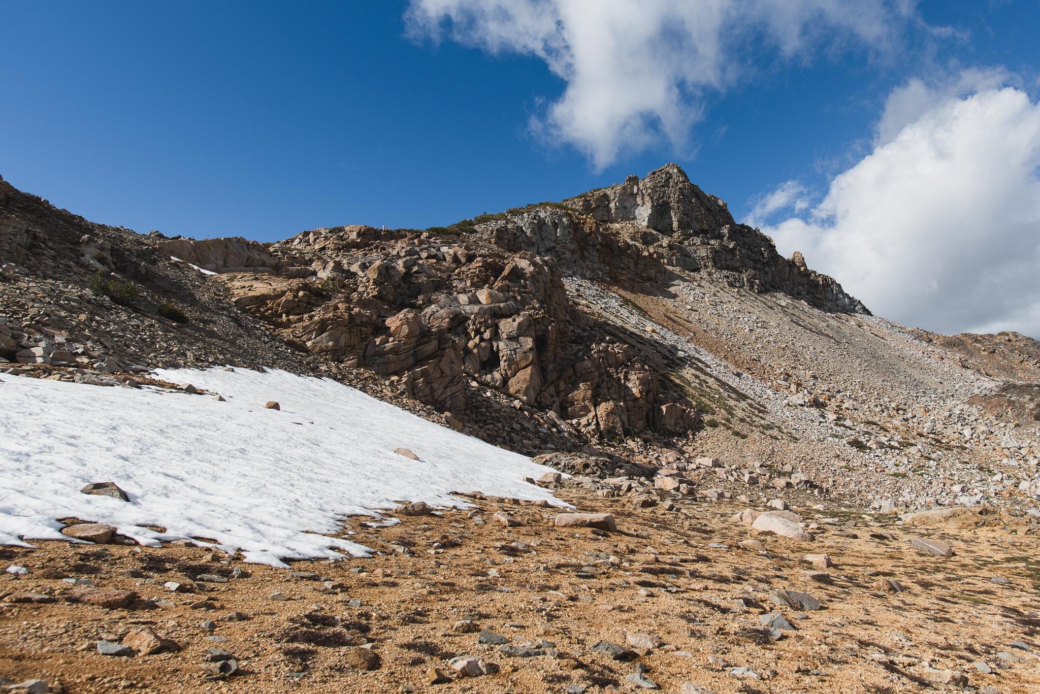
I had read that there is a use trail for the last section to the summit, so we tried to look for it. I think we did more scrambling than necessary because we stayed on the front side (Island Lake side) of the pyramid. On the way down, we descended on the backside just over the ridge line (refer to our GPX tracks in the AllTrails map at the top of the post). The last bit of ascent up to the peak was loose and sandy. Route-finding was easy, and you can follow any footsteps to the top.
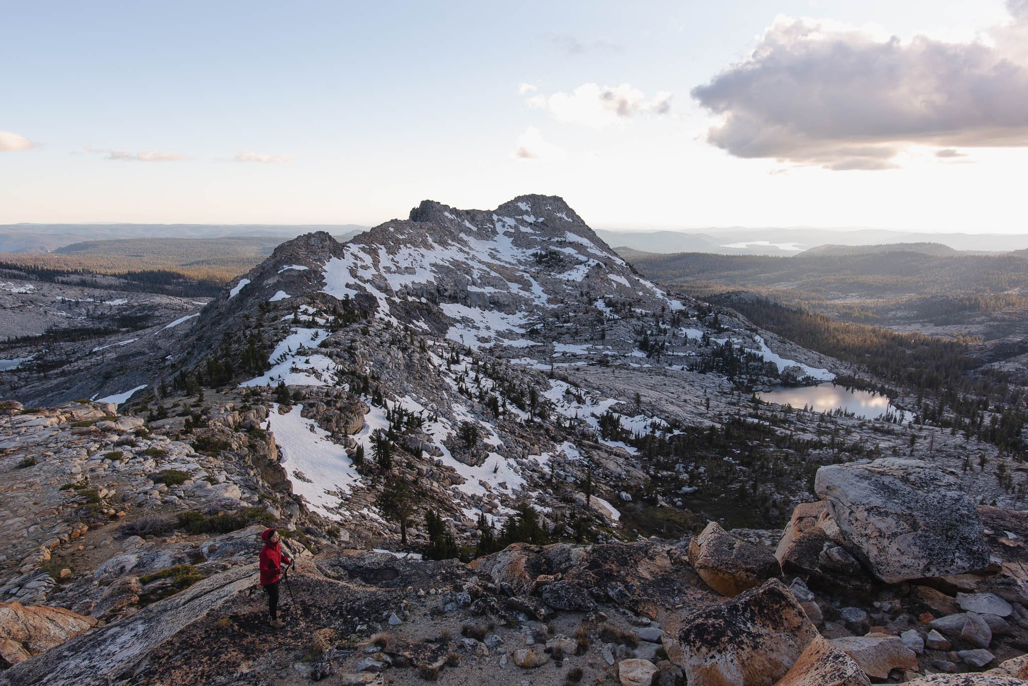
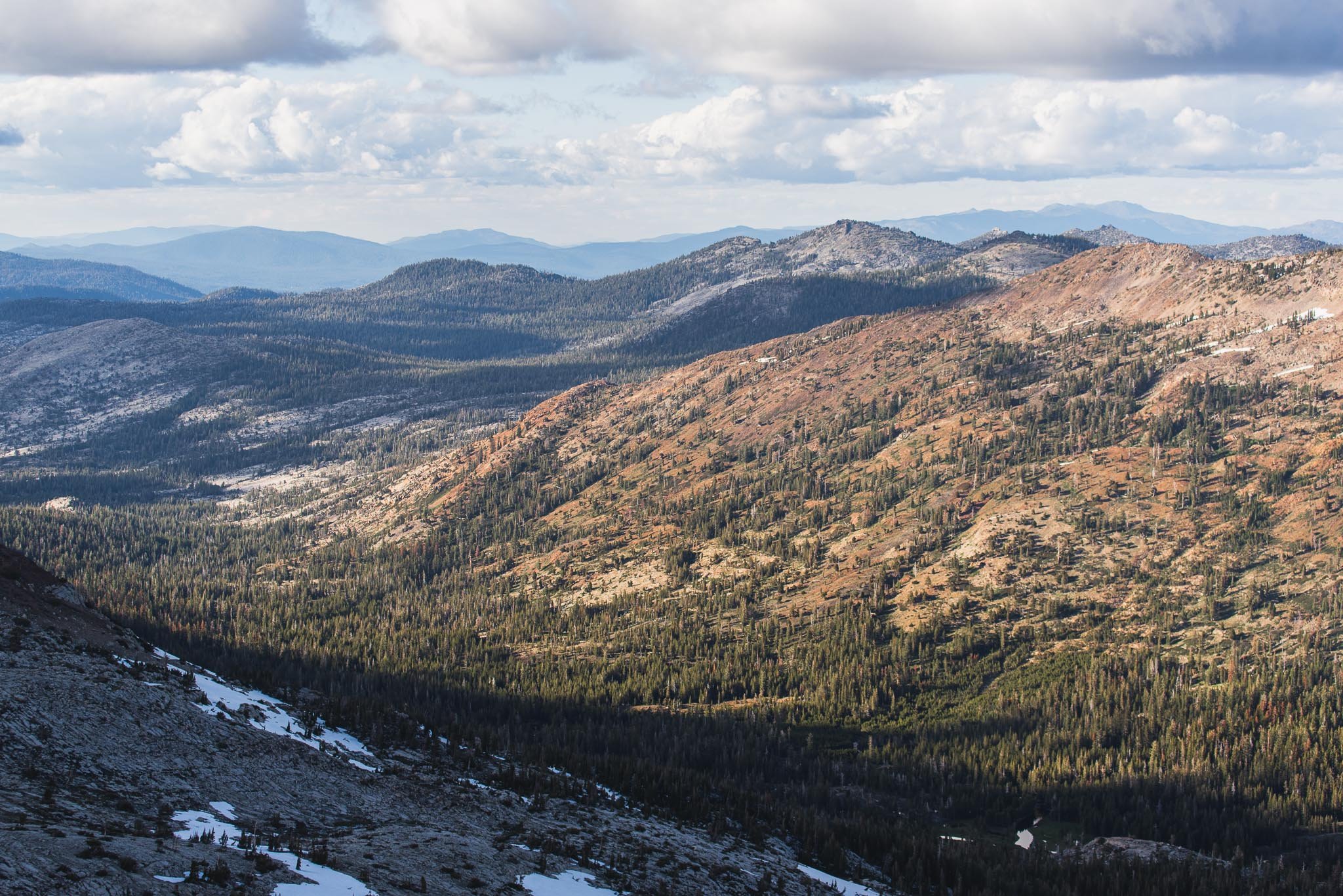
Even the continuous views on the way up could not compare to the 360 degree views at the top. We were eye-level with the Crystal Range peaks across from Island Lake. Lake Aloha, where I had camped 4 weeks ago while it was still frozen, could be seen in the distance. Dicks Peak, where I had camped in 2019, and the forested Rubicon River valley in front of it, could be seen on our left. There was a summit register box wedged in between rocks at the top, but the pen was out of ink. We etched our greetings invisibly into the paper.
Lake Aloha as seen from Little Pyramid Peak
The irregular shore of Island Lake featuring our lone tent
Tyler Lake
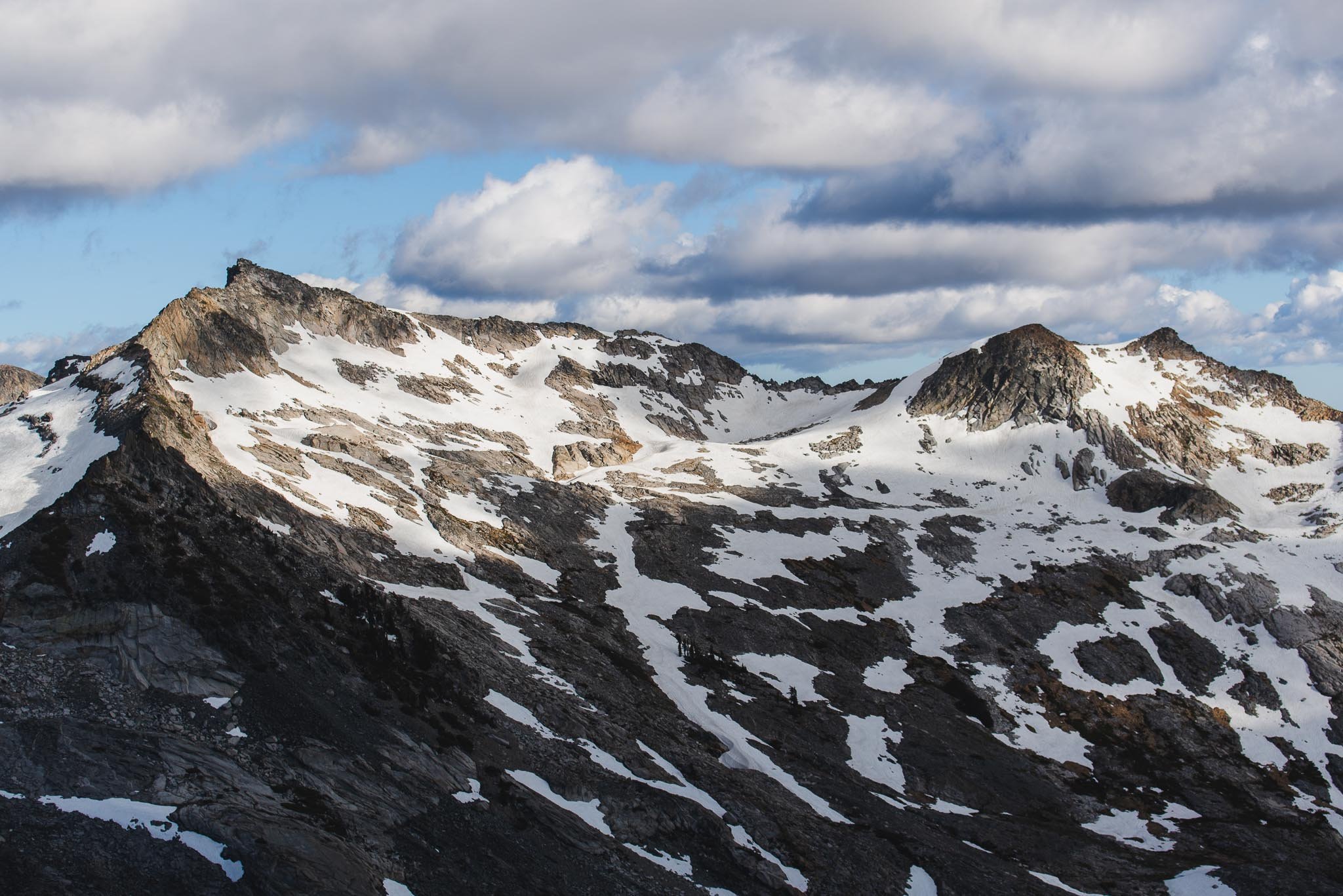
Patchy snow still laced the peaks
Descending back to the 8,826' plateau was straightforward. After that, instead of descending the way we ascended, we thought we'd feel more confident following a route we saw in other trip reports that aimed for a saddle at 8,629 feet. However, we soon realized this route would overshoot our campsite and deposit us at the start of Island Lake instead of the middle.
Looking back up at the peak. The front side is very rocky but the back side is sandy and it’s easy to walk on
The spine of Little Pyramid Peak extends and wraps around Tyler Lake on the right
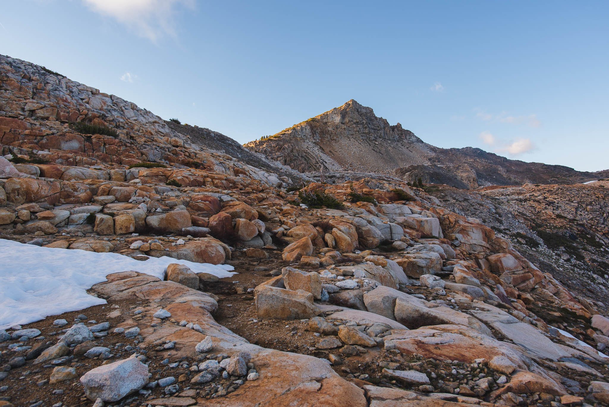
Coming down a section reminiscent of travertine terraces
We changed course and started descending towards our tiny tent below. Route-finding downhill was a little tough. We couldn't see that far ahead when the ground suddenly steepened or dropped off, which led us to get caught in a few steep, slippery spots where we had to be really careful or backtrack.
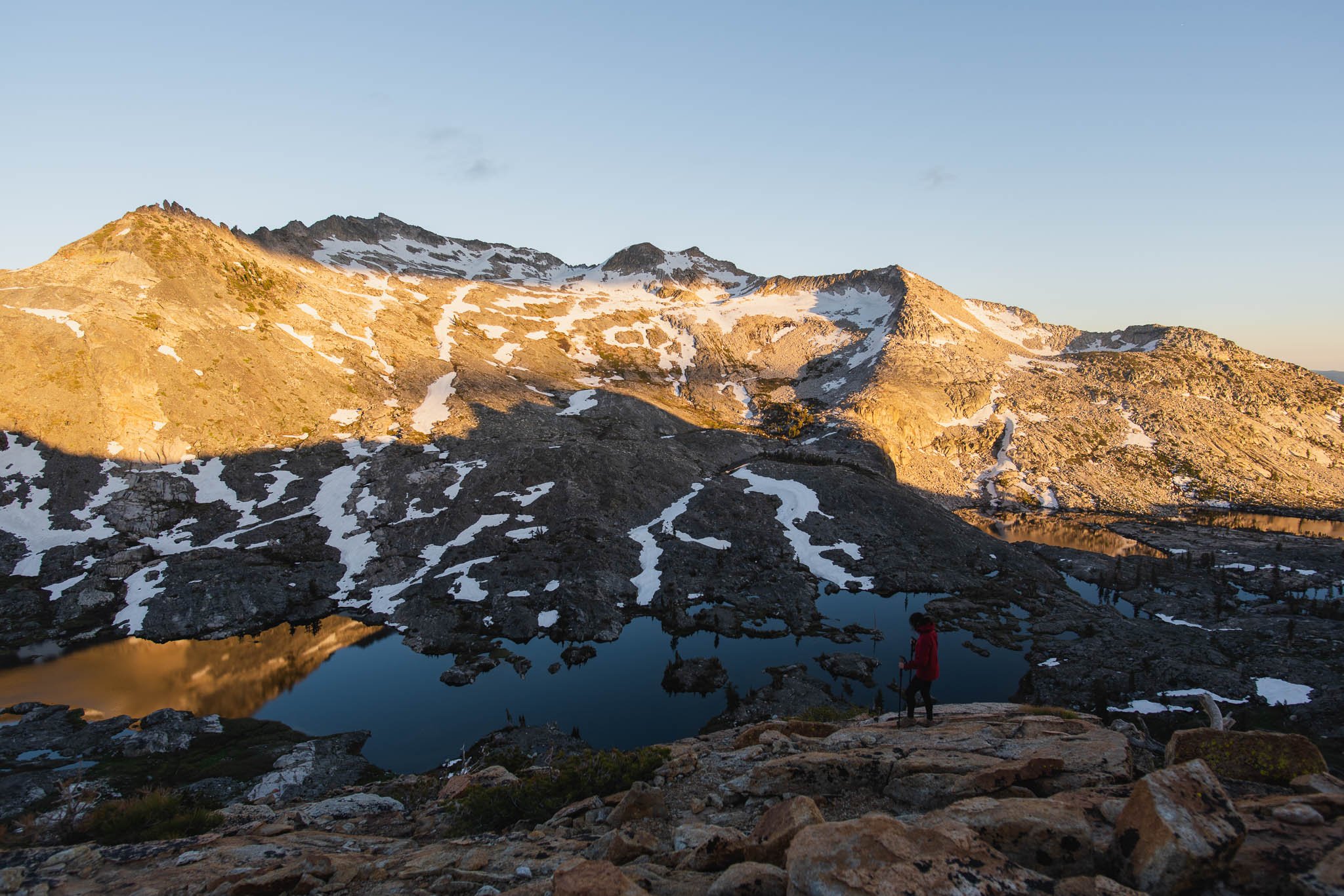
We faced the views for our entire descent. It was getting close to sunset; the sun was directly behind us and lit up the Crystal Range spectacularly. In 30 minutes, the color transitioned from yellow to orange to red. Then the light disappeared off the peaks while everything turned a soft mauve. In the final act, the sky darkened and stars started peeking through the sky. Sunsets really never get old.
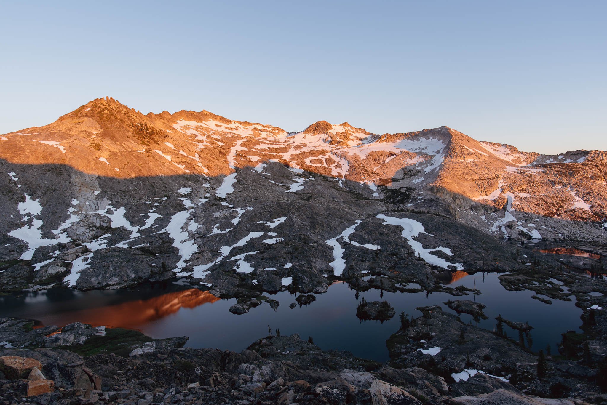
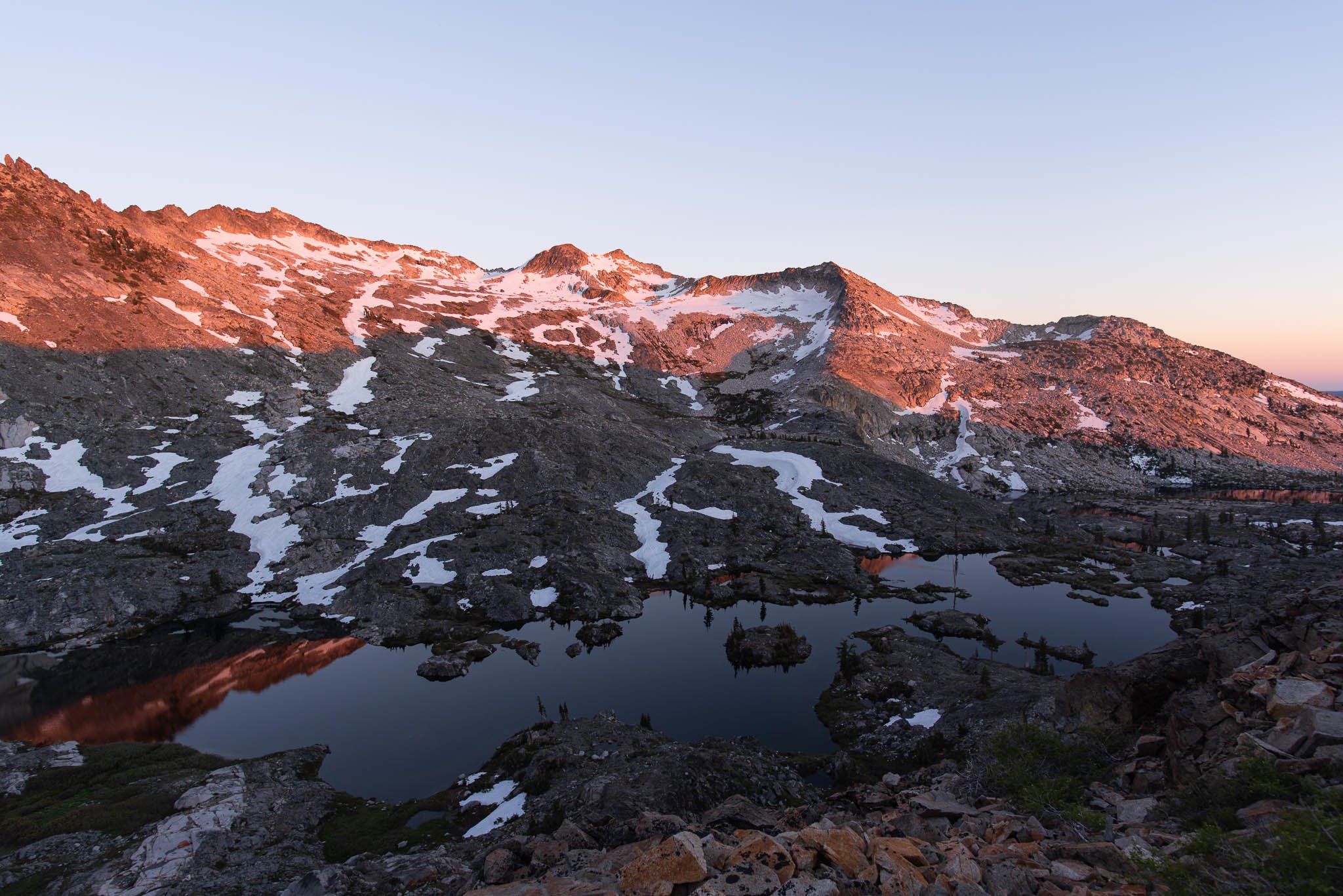
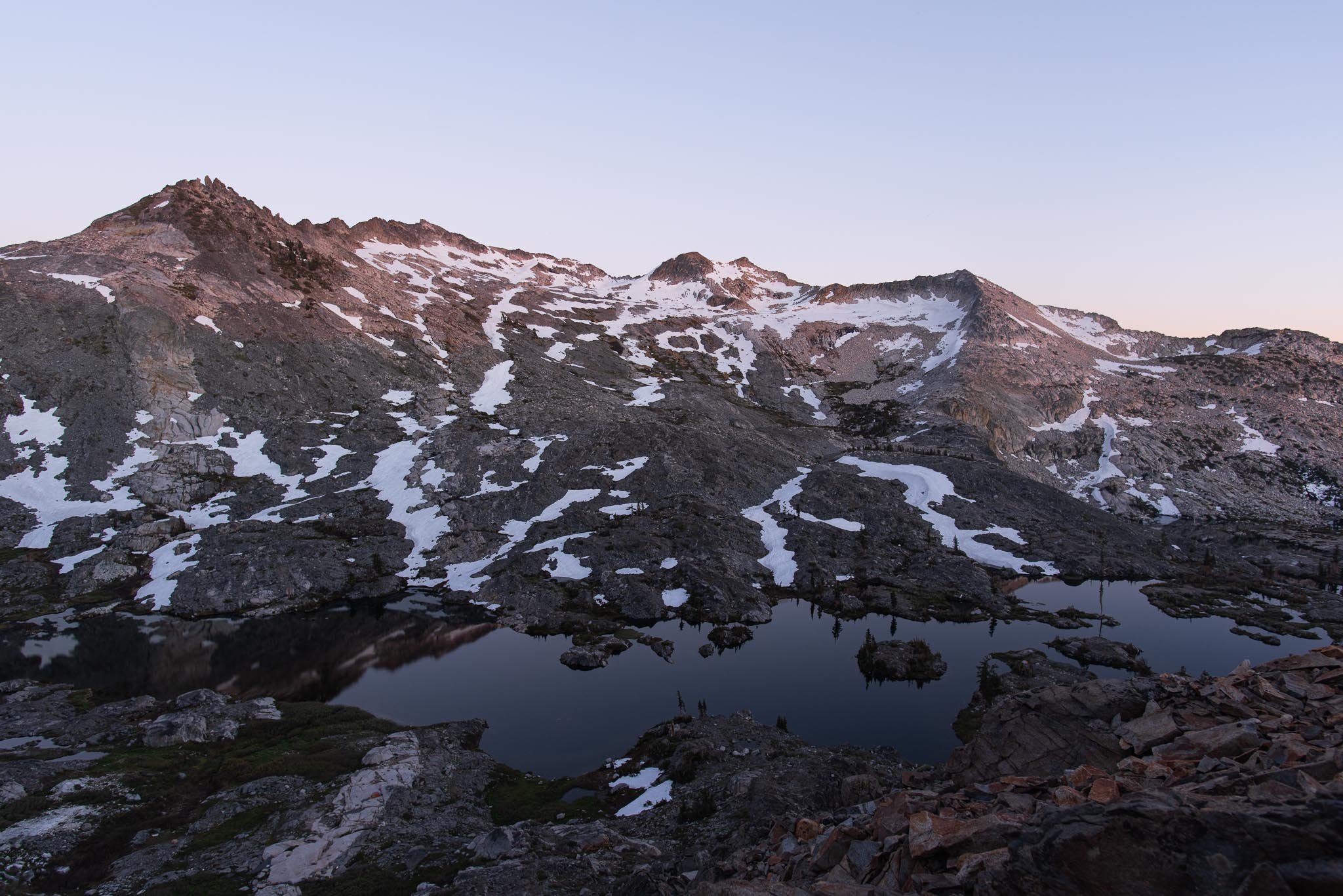
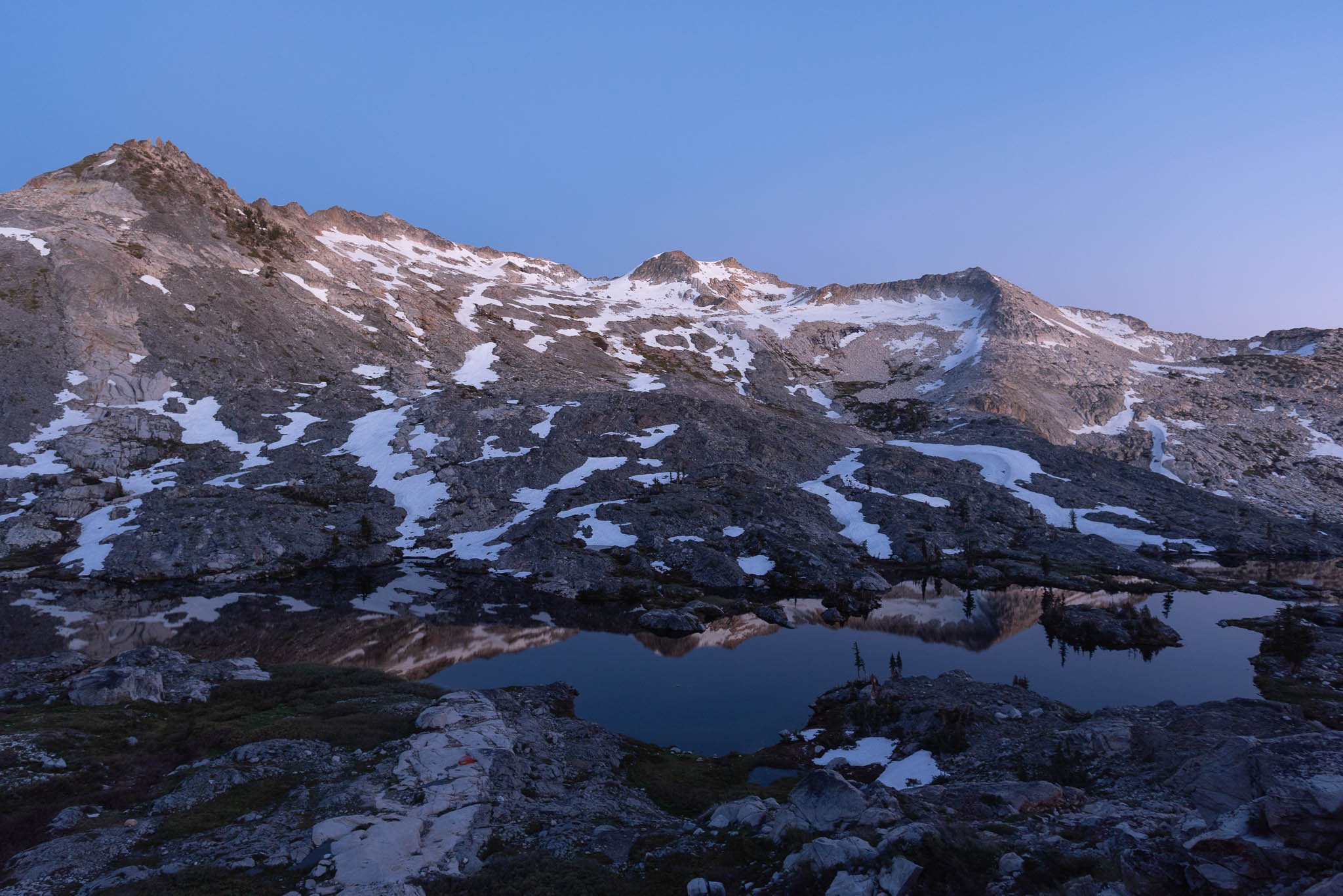
There was just enough light left to see by when we leapt back into our campsite at 9 PM. The first order of business was making dinner. We were halfway through heating up our meals when we realized the stove flame had petered out. Our hearts sank as we realized our sole fuel canister was empty. Between our partially-heated, hard rice and channa masala and extra snacks, it was enough to not go hungry, but it wasn’t the satisfying post-hike meal we were looking forward to.
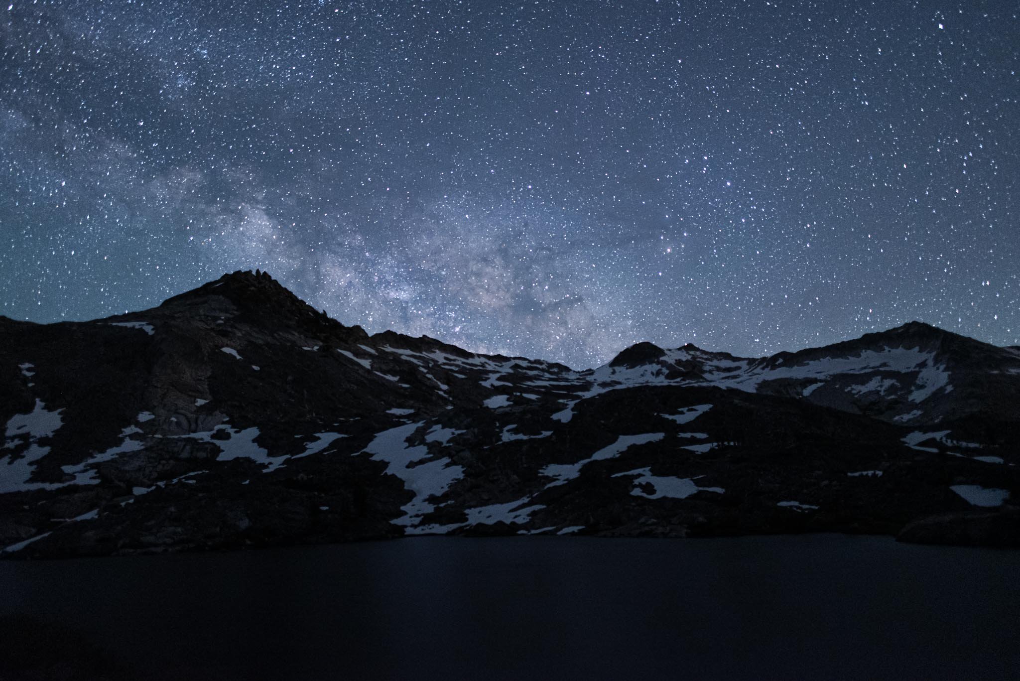
I didn’t bother setting an alarm for the middle of the night to take Milky Way shots, but I did take one around 10:45 PM before I went to bed. The Milky Way was just starting to rise over the mountains.
Day 2: Island Lake to Wrights Lake
I love the late sunsets of summer, but I can’t say I love the early sunrises. I’m not naturally a morning person, so I was not about to get up in 6 hours to see the sunrise at 5:30 AM. I also figured the sunrise light would be hidden by the mountains behind us, so we blissfully slept through sunrise the next morning. When we awoke, the weather was absolutely perfect—blue skies and white wispy clouds. We spotted a few marmots scurrying around our camp area, darting across and between rocks. It was so peaceful and there was not another tent as far as our eyes could see.
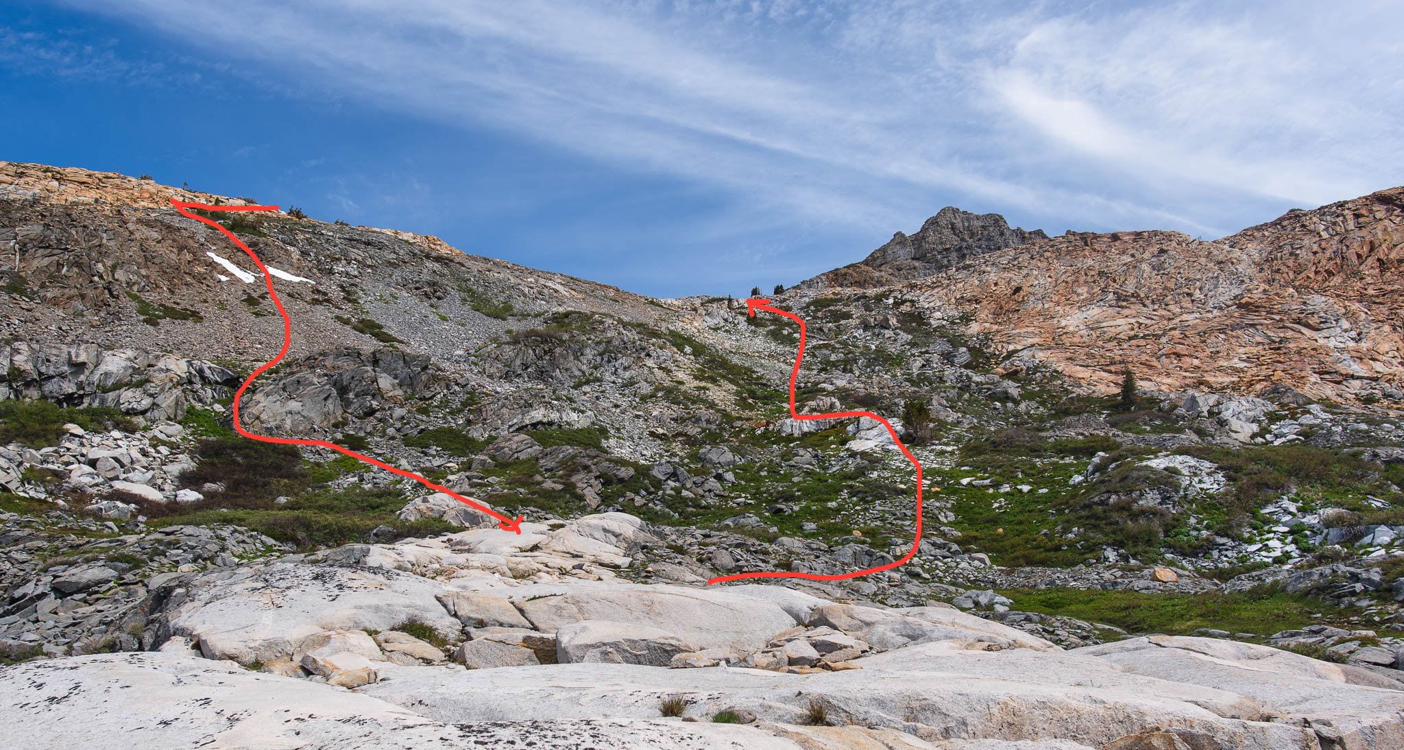
Looking back up to where we scrambled the day before, with our very approximate Little Pyramid Peak scramble route drawn in red. It definitely felt like more of a journey than it looks!
Equipped with our experience from the previous day, the hike back out to Twin Lakes was quick and easy. We considered going to Enchanted Pools on the way back, but decided to skip the detour this time. Off-trail travel takes considerably longer per mile than on-trail travel, and we already had our share of off-trail travel the day before.
As a first-time backpacker, my sister was really put to the test on this trip with swarms of bugs and scrambling, and not even a hot dinner as a consolation. But she was a trooper and endured it all without a complaint. I’m glad I got to share my hobby with her, especially in a location as scenic as Desolation Wilderness. This trip easily ranks as one of my favorites in Desolation and I would definitely come back to see the Enchanted Pools.


